

The best way to appreciate the Fall season, is to appreciate what becomes of it.
Many people complain about the Pacific Northwest weather after the summer season. Not me, for I believe here shows a pleasant trade off to the warm weather and blue skies. A return to nature, a cycle of renewal, a time for periodic harvesting. To benefit, is to get through the minor inconveniences of darkened skies and wettened soles.
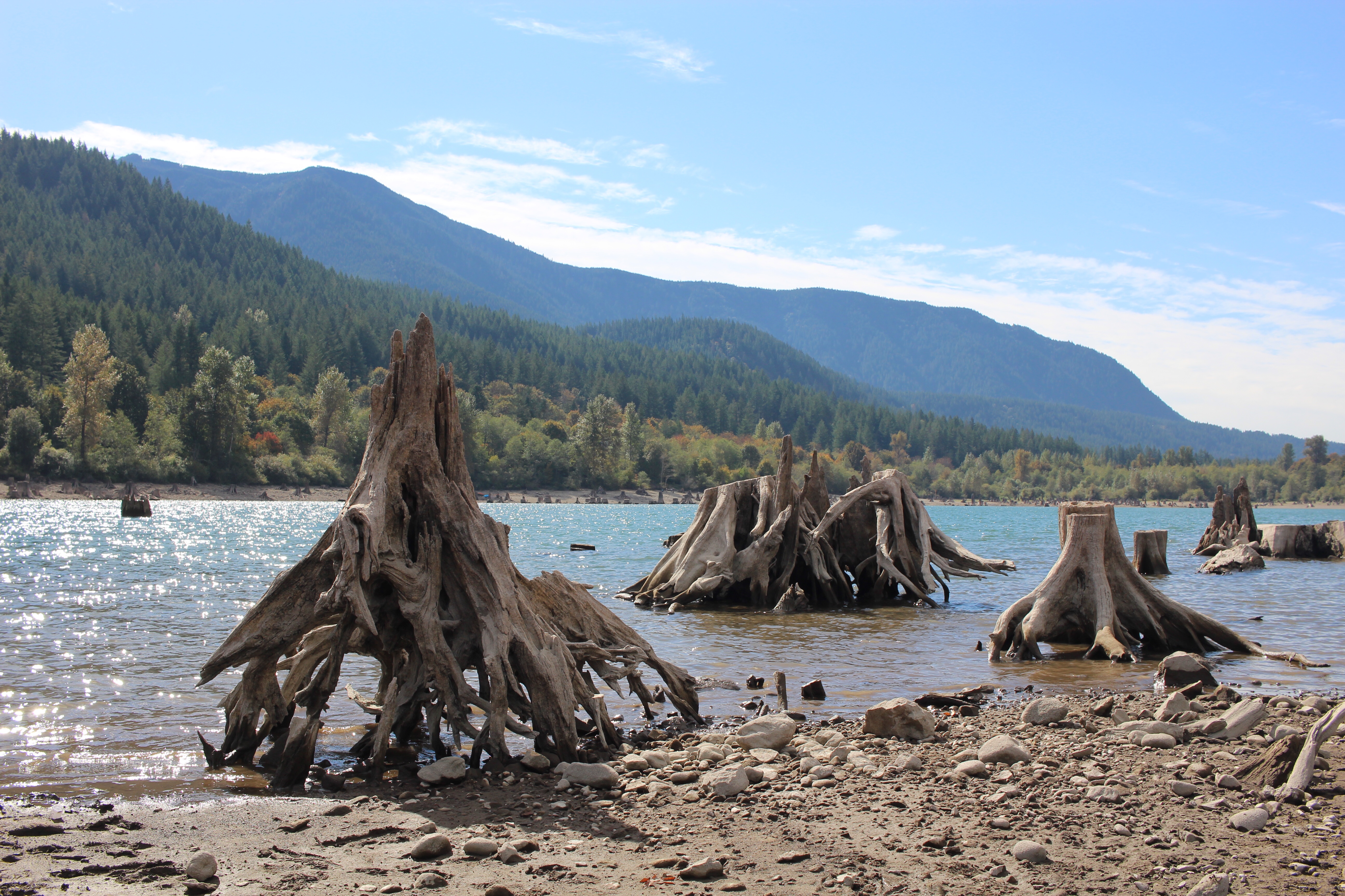
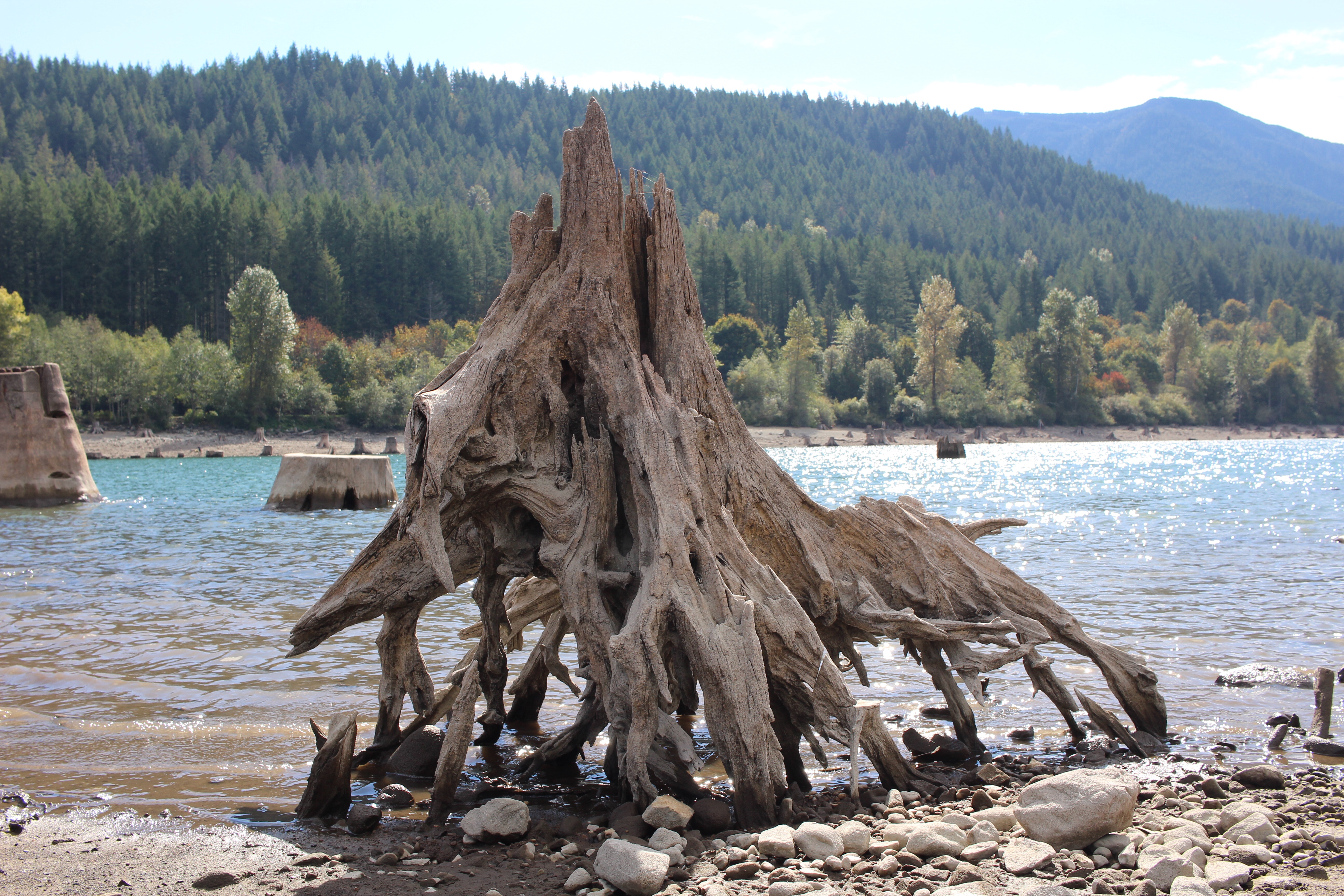
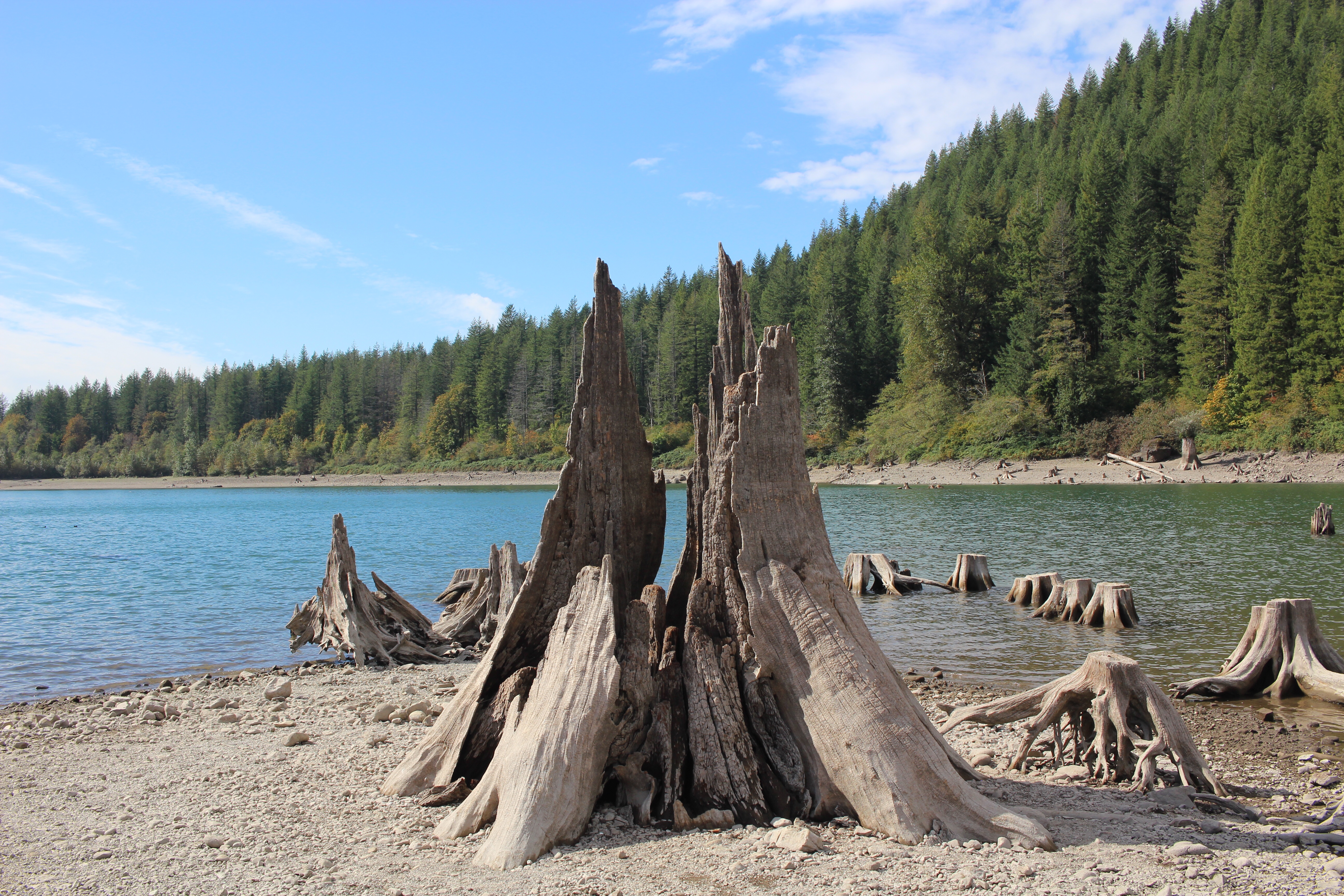
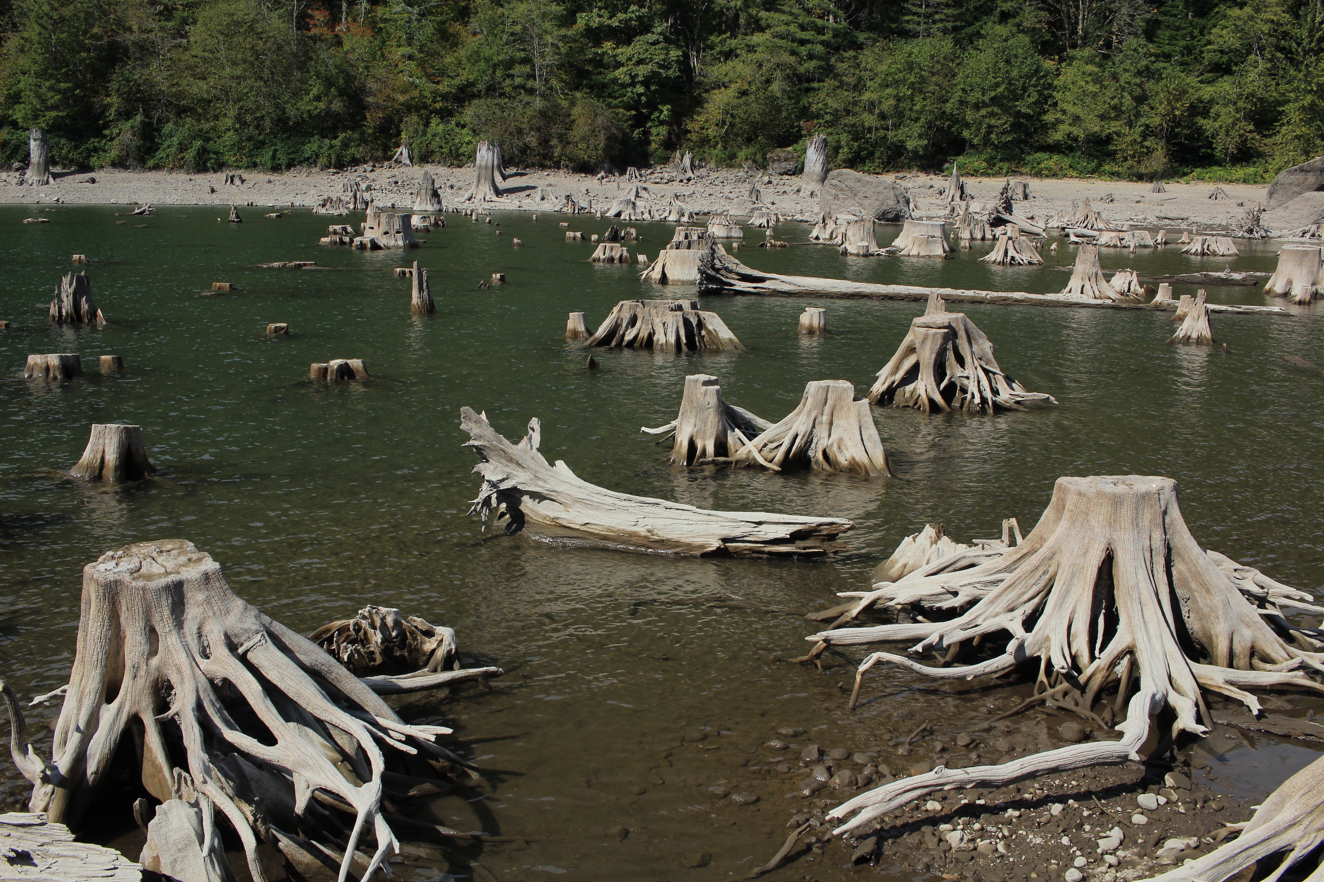
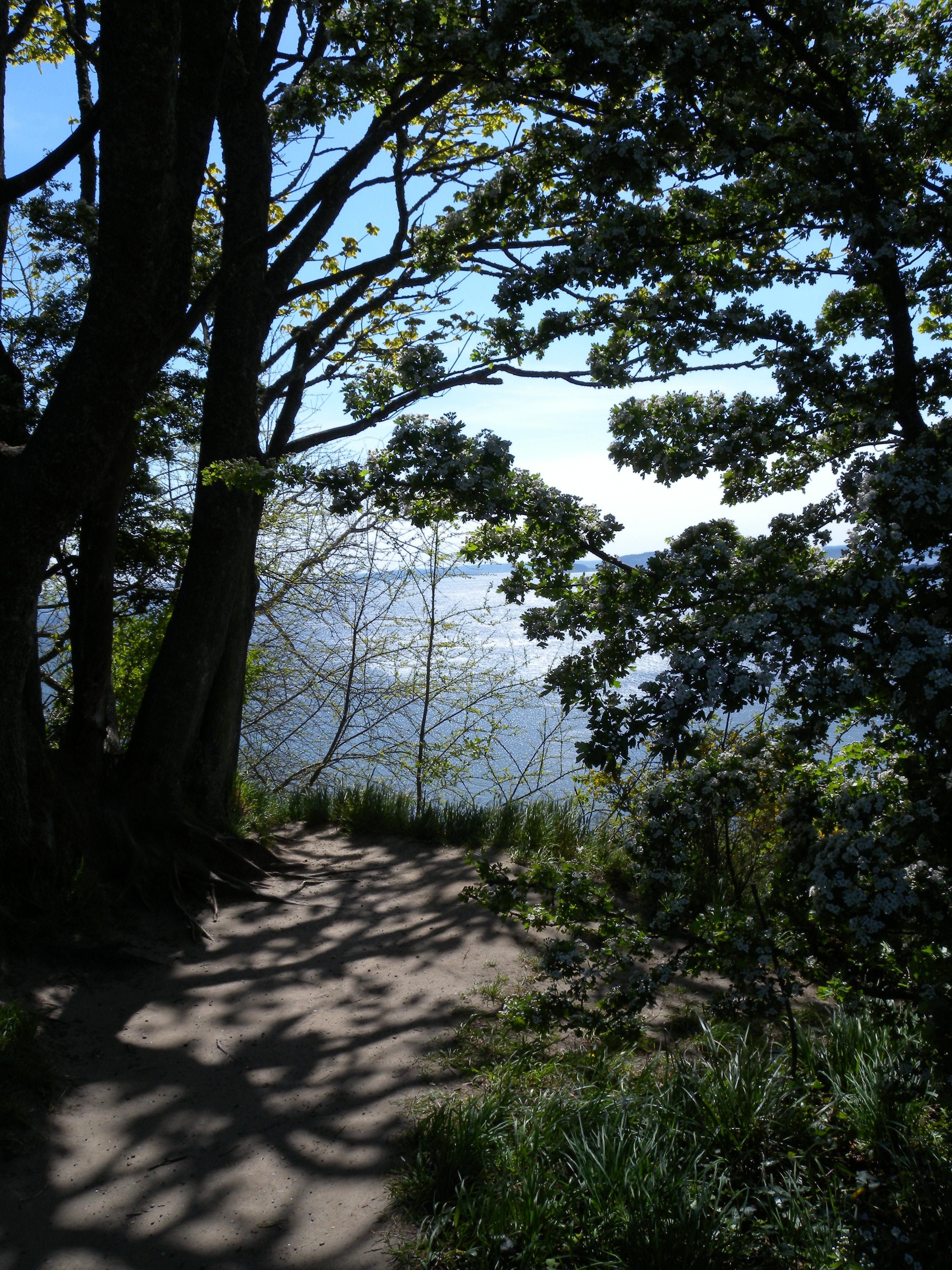
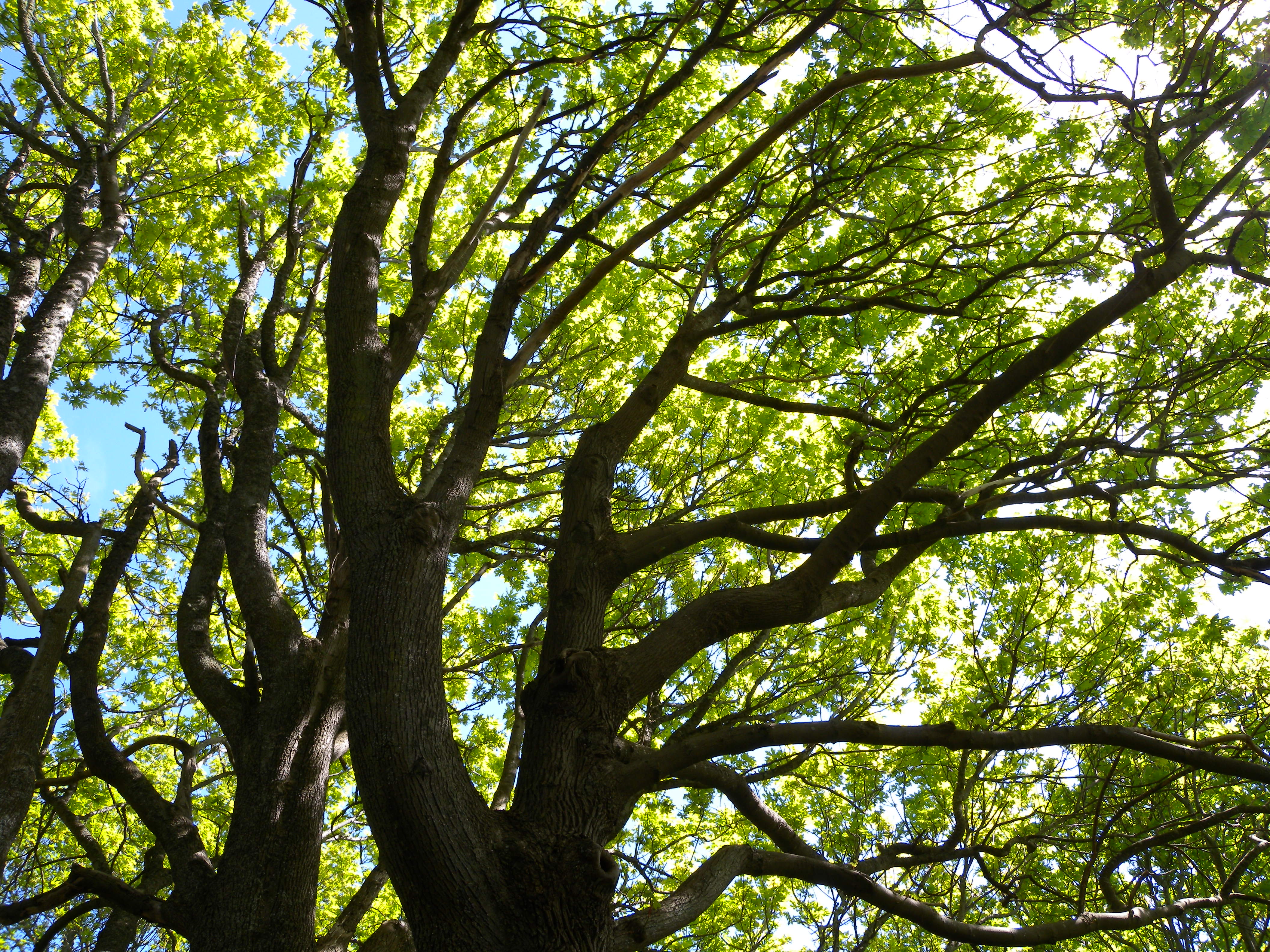
I see the refreshments of fresh Fall colors of earthly greens, oranges, yellows, browns, and much more variety between brought about by the plentiful trees and shrubbery. The season enhances, by spreading from the sky, unto the ground, mixing what was cleared, now a beautiful mess. A good rain and infrequent loosens the stems, brining leaves to the ground, and then see why the Autumn (aka as from a history of French borrowing from Latin) season became more commonly named, Fall. Because the leaves must Fall, for the seasonal cycle to make sense.
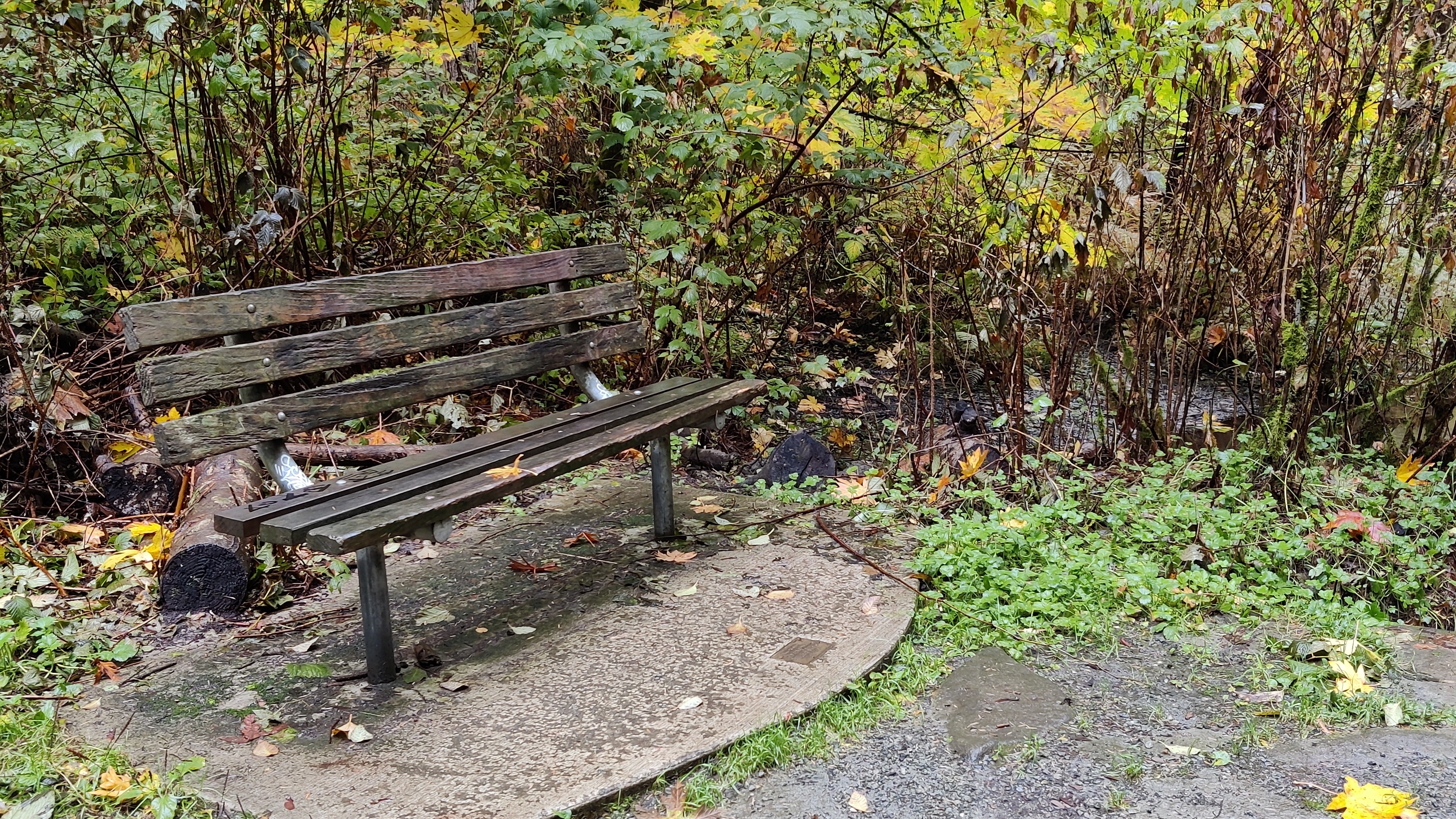
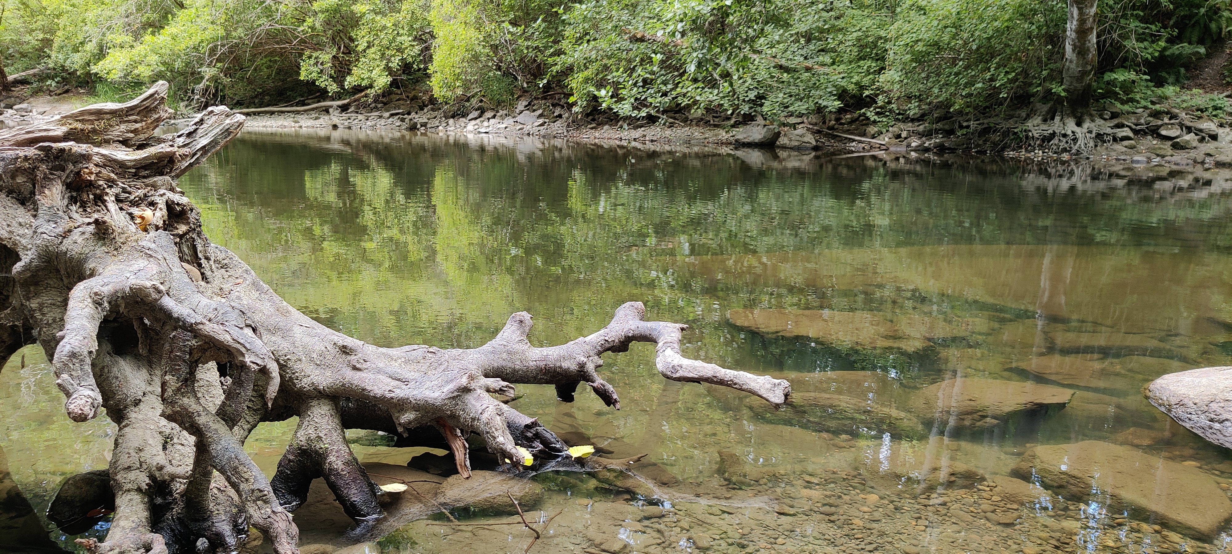
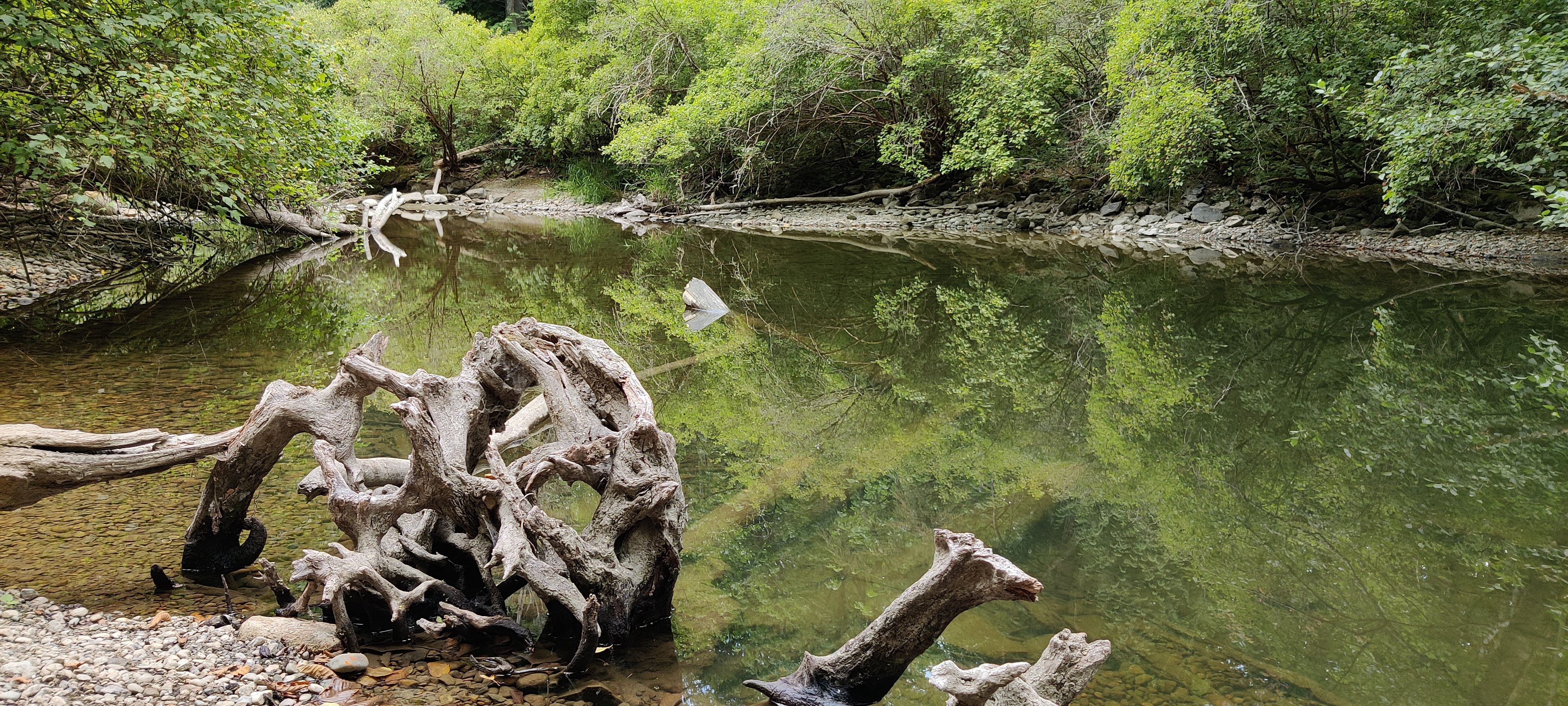
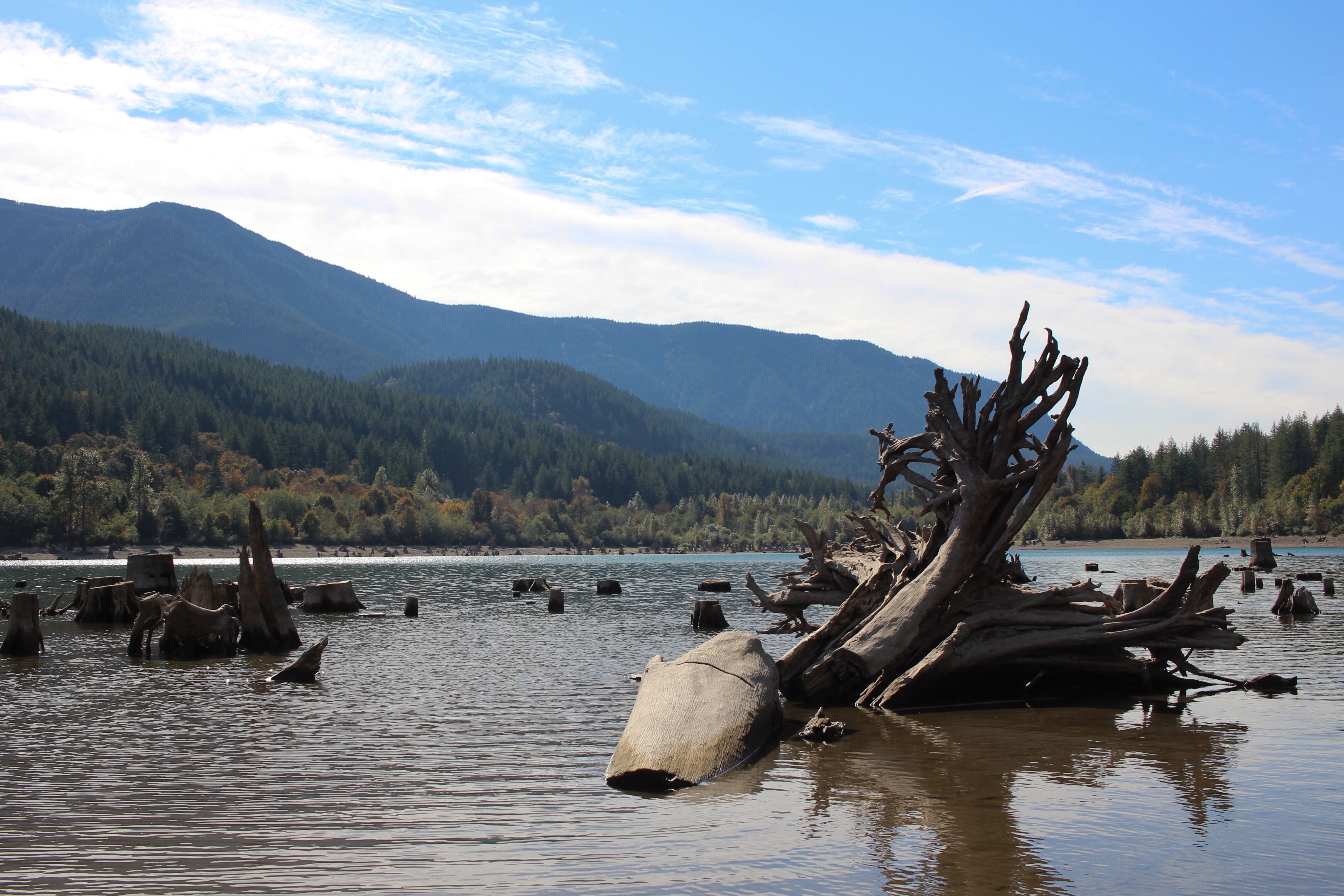
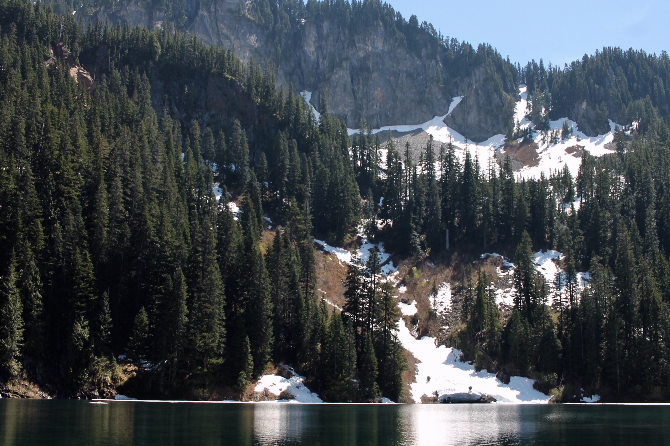
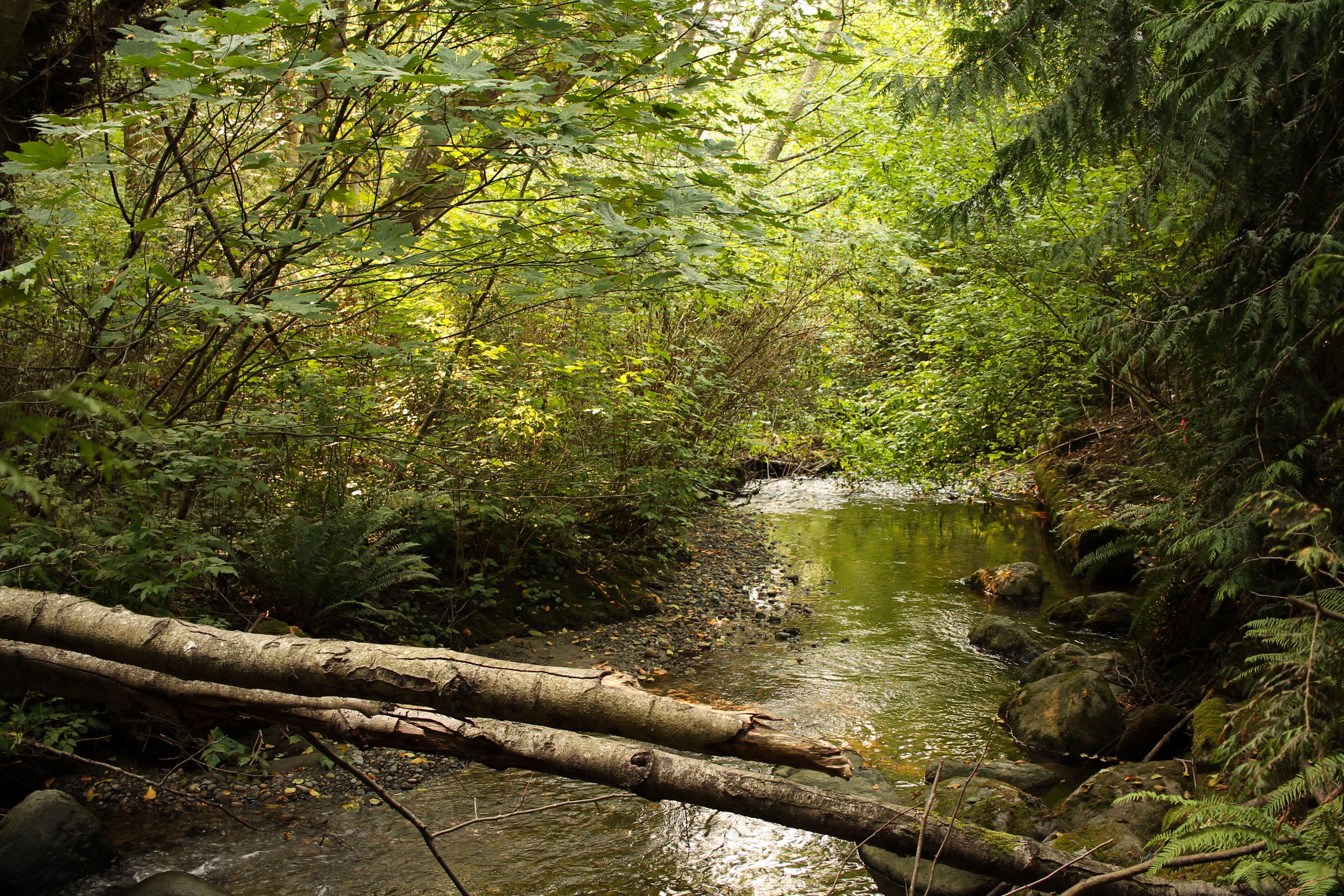
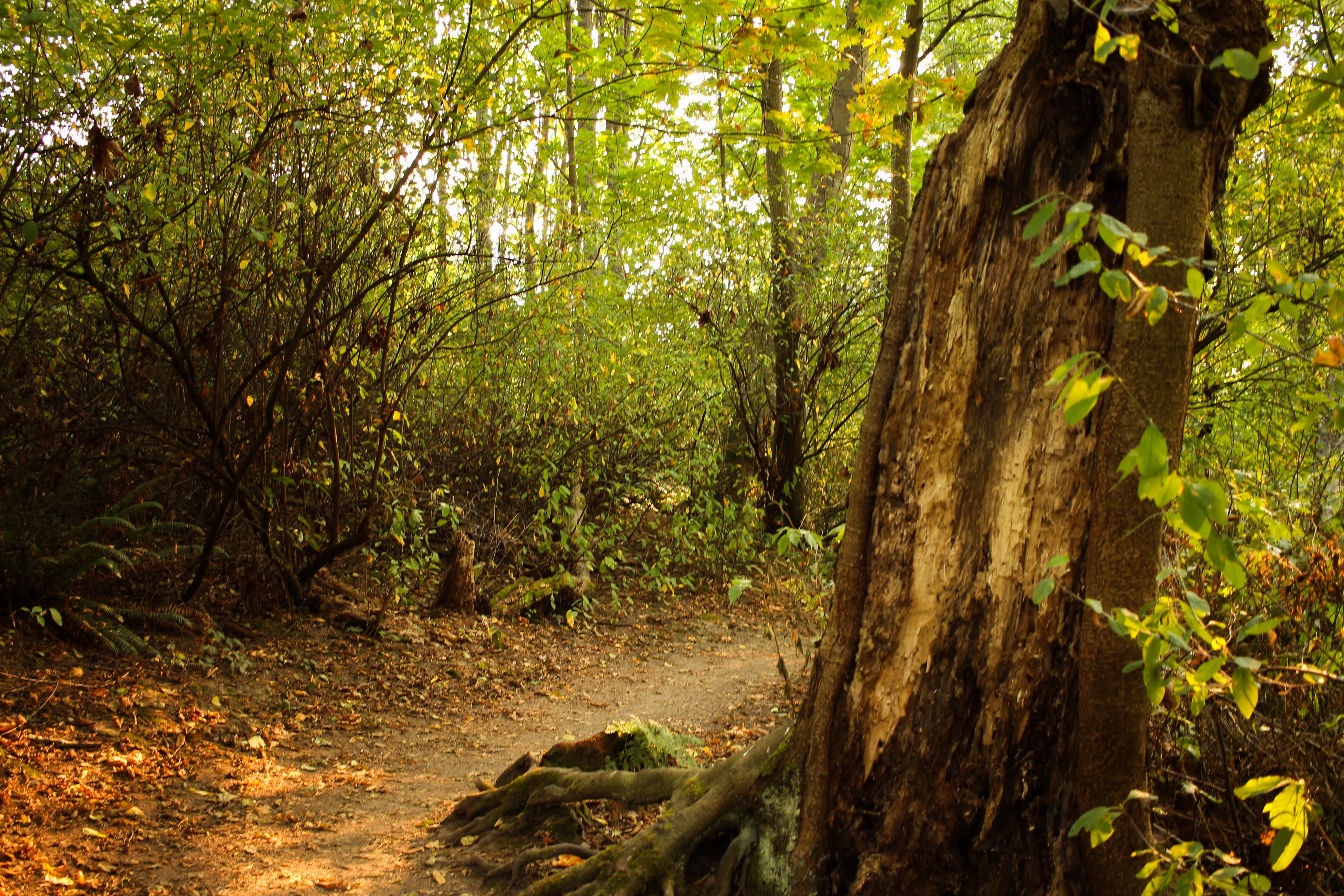
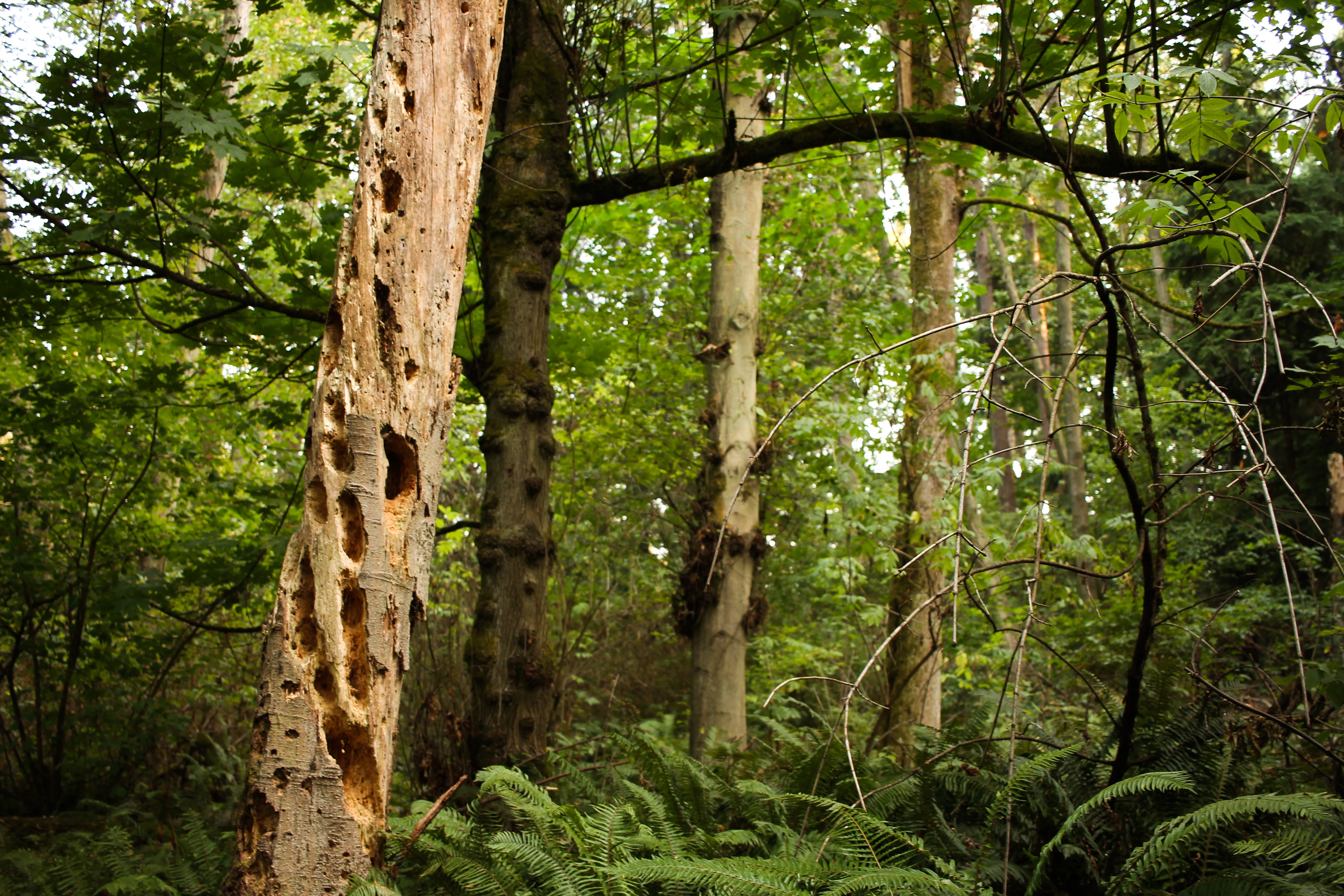
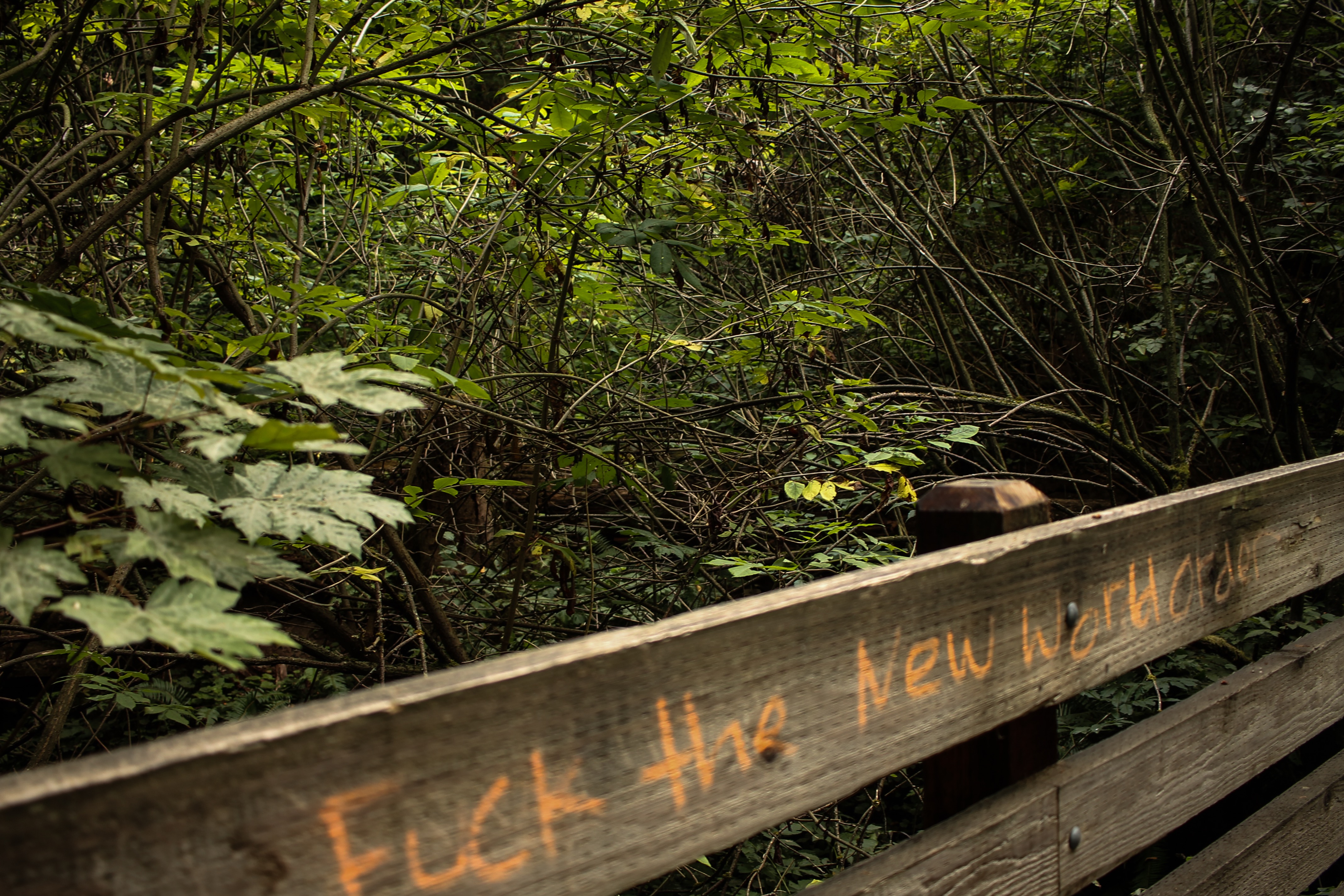
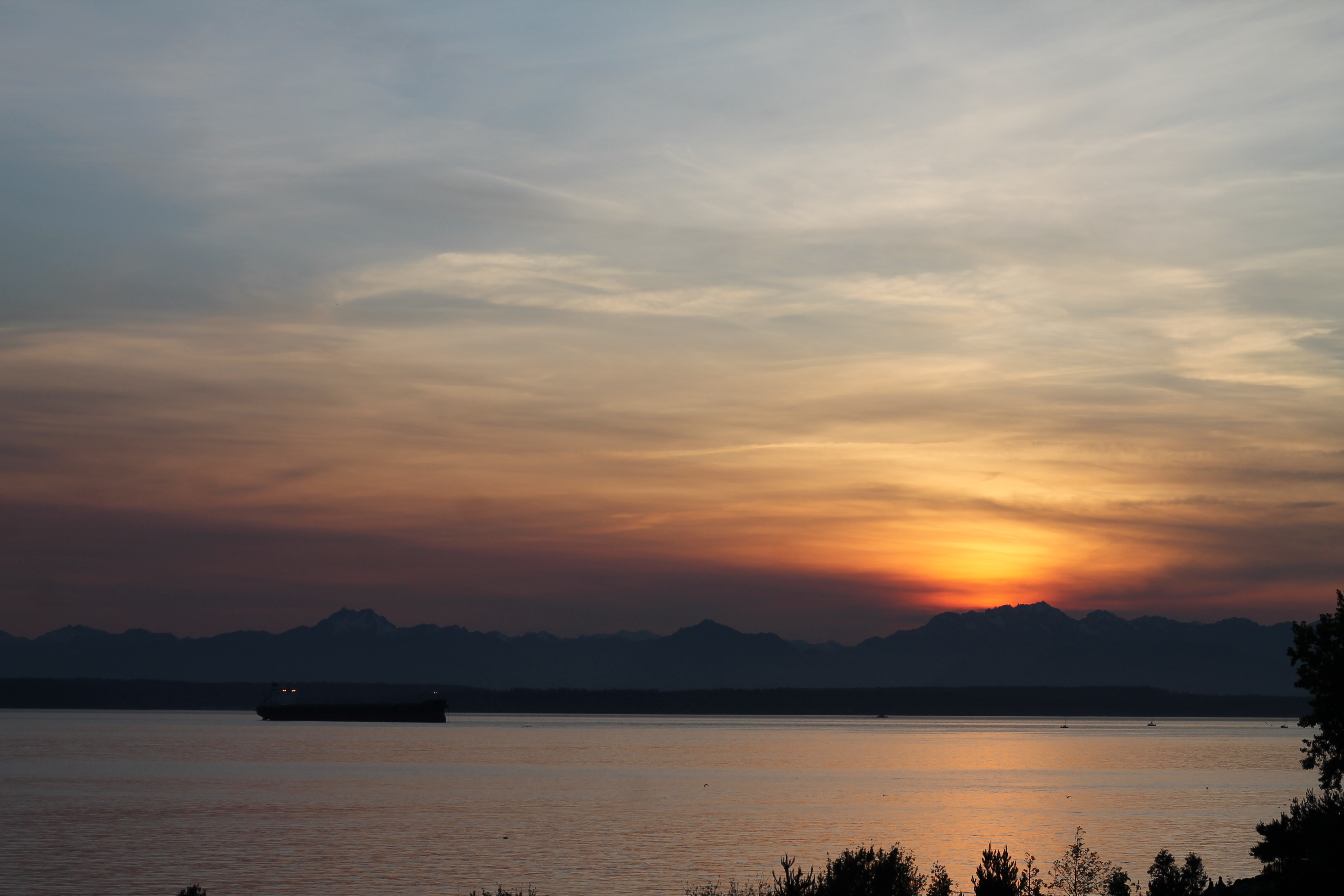
Meanwhile, here are some magnificent captures from a recent walk to Ravenna Park, a half-mile narrow ravine below two large bridges. This stretch is perfect for jogging, casual strolls, ruminating, and of appreciating the Fall season. You’ll find this park, located closely north of the University of Washington, in north Seattle.


These pictures are not all of Ravenna Park, that I intend to share. This park has much beauty, which I will features more of in future postings. In the meantime, go take a walk through your nearest park and appreciate what the Fall has given.
– Orion T


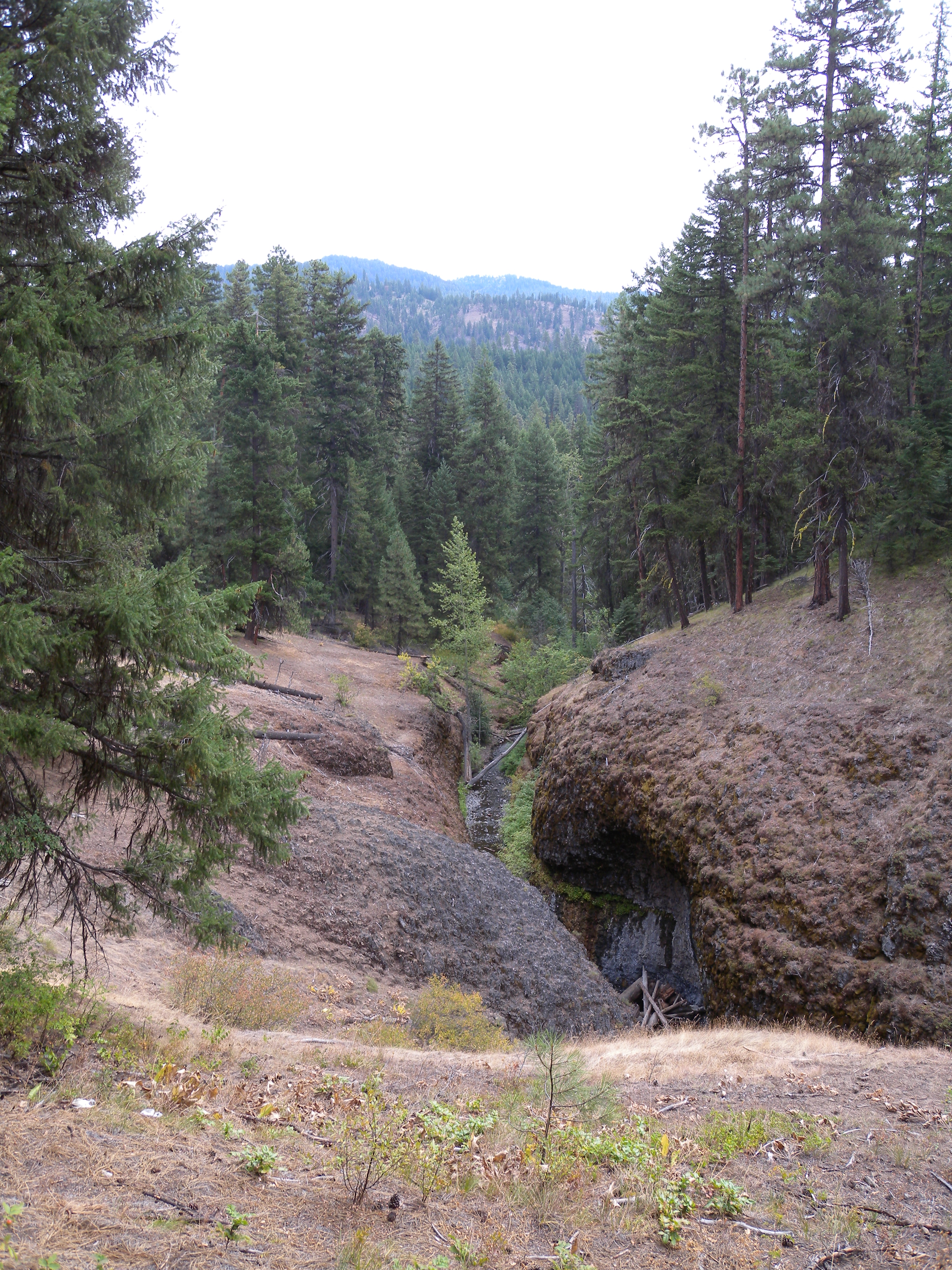


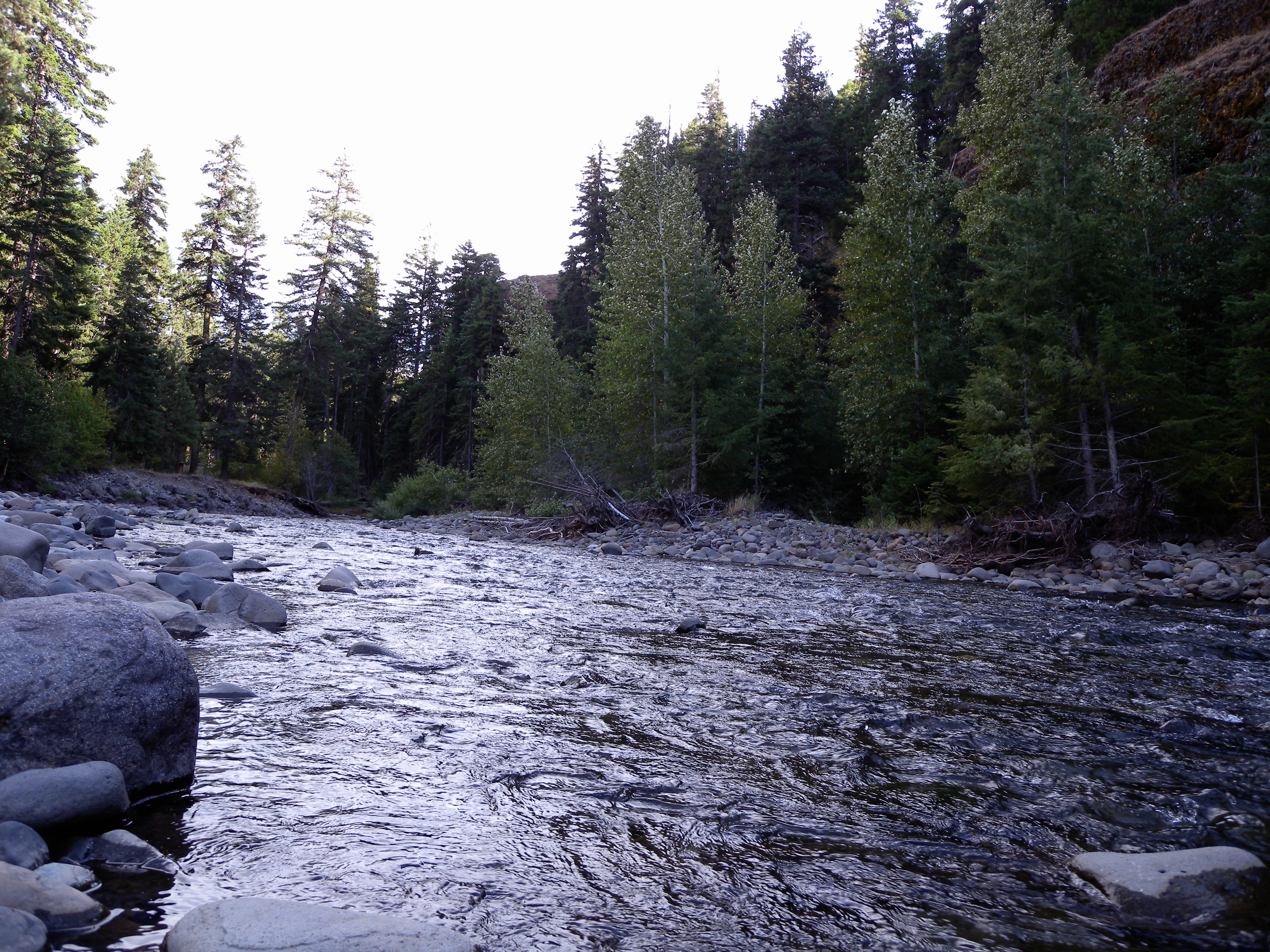


 - Trees of Mystery in Klamath, California")


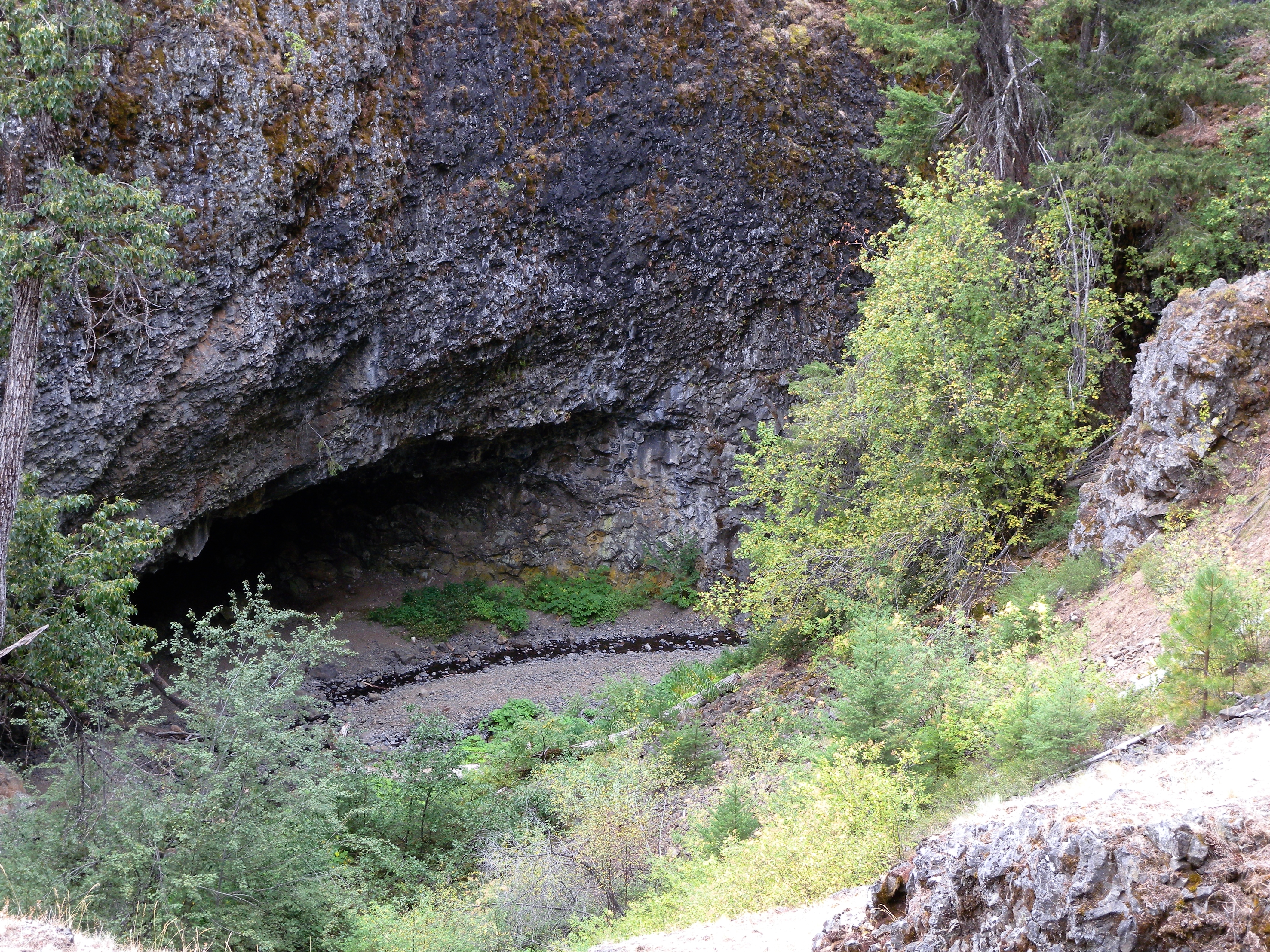
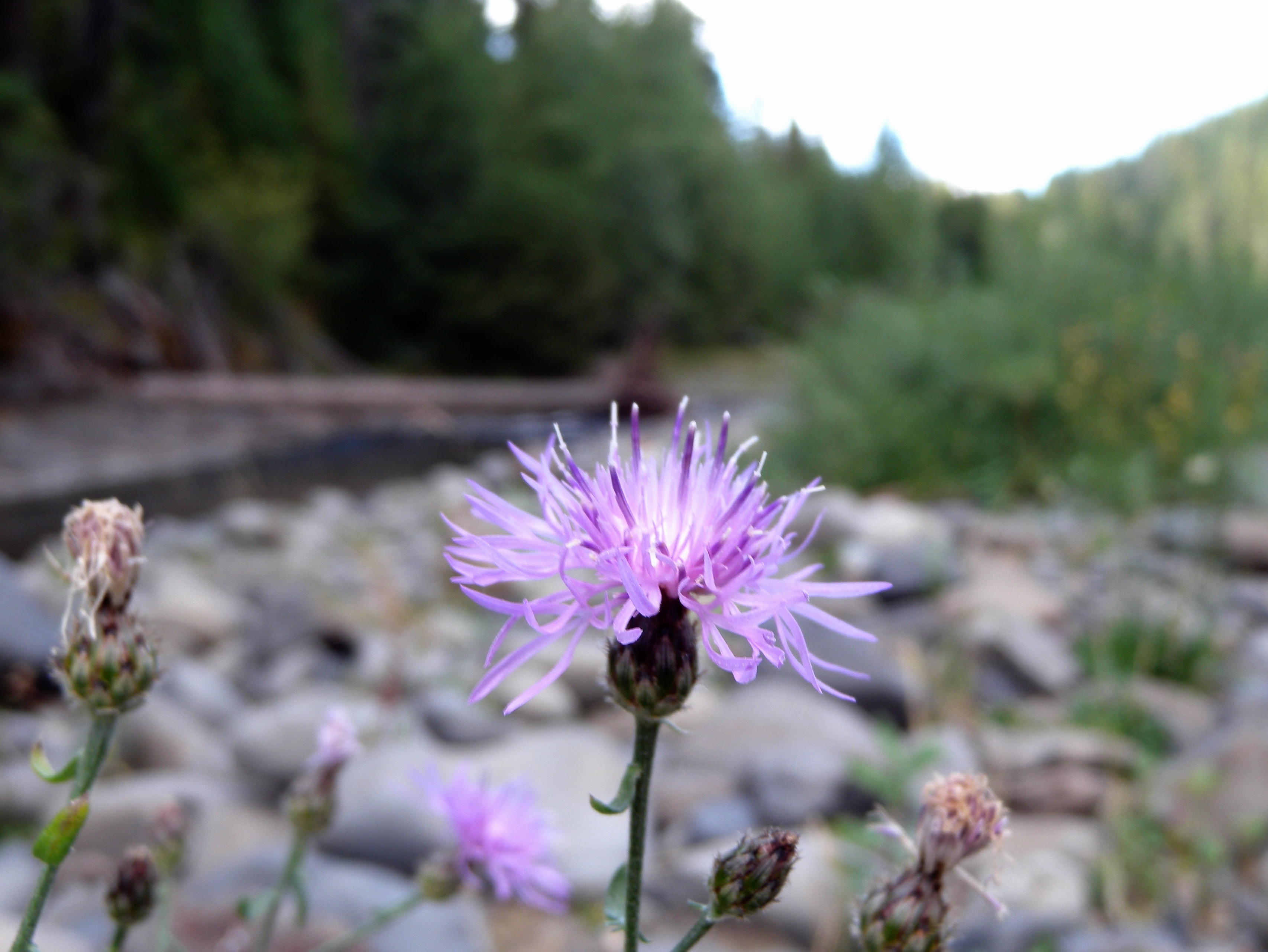
 - Trees of Mystery in Klamath, California")
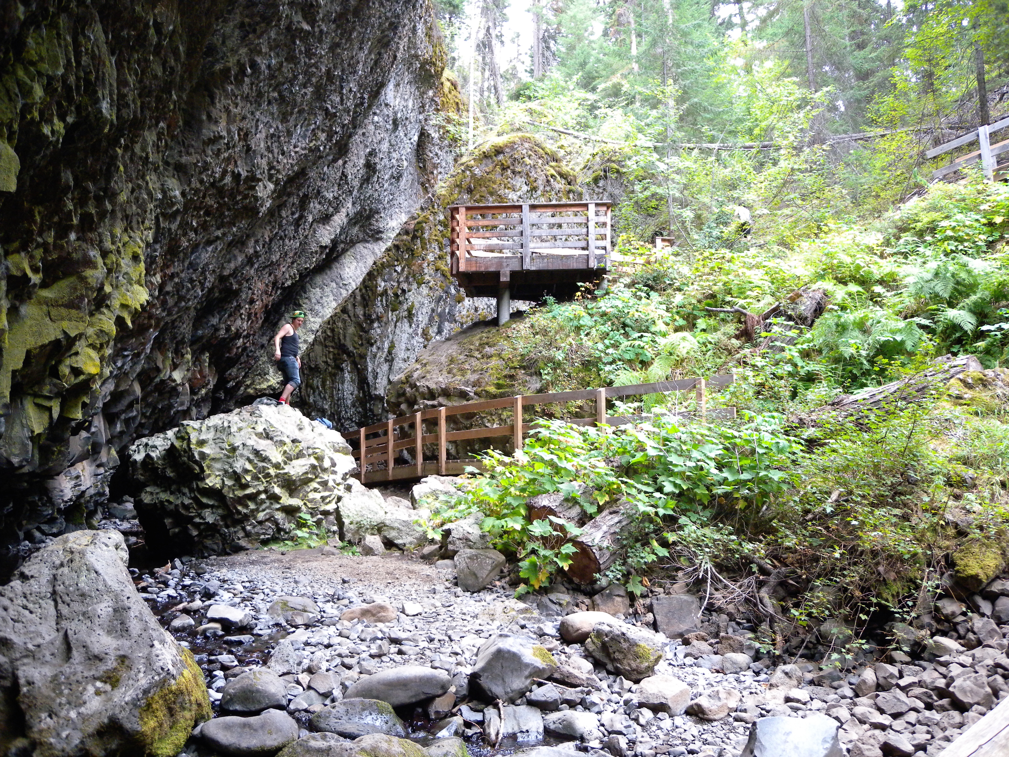
 - Trees of Mystery in Klamath, California")

