Snowing up high at 2,726 ft through Snoqualmie Pass

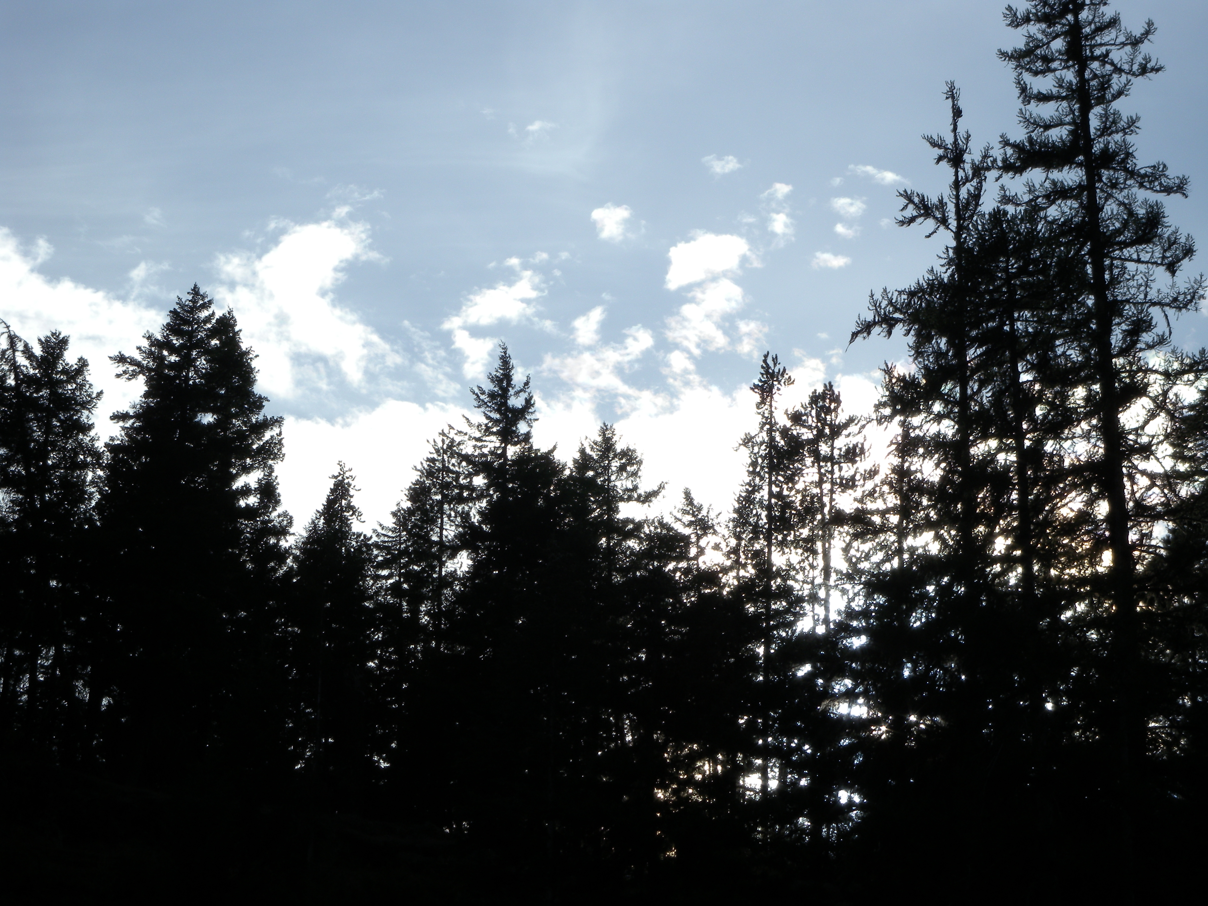
Snoqualmie Pass did not disappoint with snow over the recent Christmas weekend.

This popular Washington State mountainous area was a treat to help make up for a very quiet and otherwise dulled outlook to this holiday season peak. A spontaneous adventure was due, traveling with an old friend who worked in the area. With no New Years plans, ruined by the rising Omicron, I needed this. I never been to the Snoqualmie Pass, therefore it interests me, especially with its famed winter snowfall.

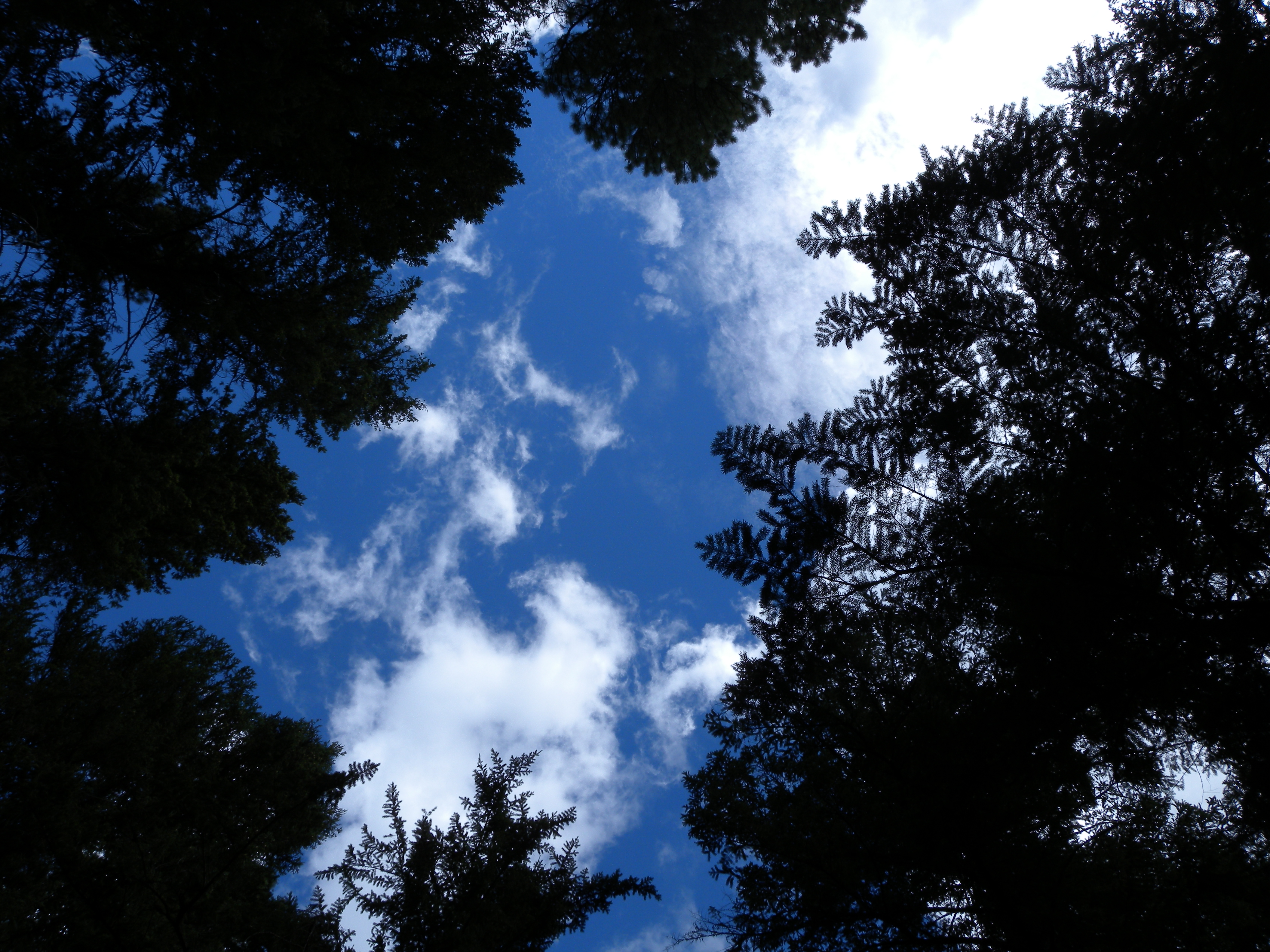
Snoqualmie Pass is a mountain passage in the Cascade Range deep in the Snoqualmie Forest, west of the Snoqualmie Valley, with an elevation of 2,726 ft (831 m). The area is named after the local indigenous Native American tribe, part of the Coast Salish peoples of the Pacific Northwest. Snoqualmie Pass was well-known and utilized by indigenous natives long before U.S settlers set foot in the early 19th century. Over time, the area was planned for a large railroad line expansion, then eventually abandoned.

The Interstate 90 is now the main highway in and out of the area, and 54 miles east of Seattle. The famed Pacific Crest Trail also crosses through the area, a long hiking route that stresses far to the south through California, almost to the Mexico border. The Snoqualmie Pass remains small, but very significant in the Pacific Northwest with a very small population, 311 according to the 2010 U.S. census. The main draw for tourists is now the cluster of four ski areas with resorts stationed throughout: Alpental, Summit West, Summit Central, and Summit East.

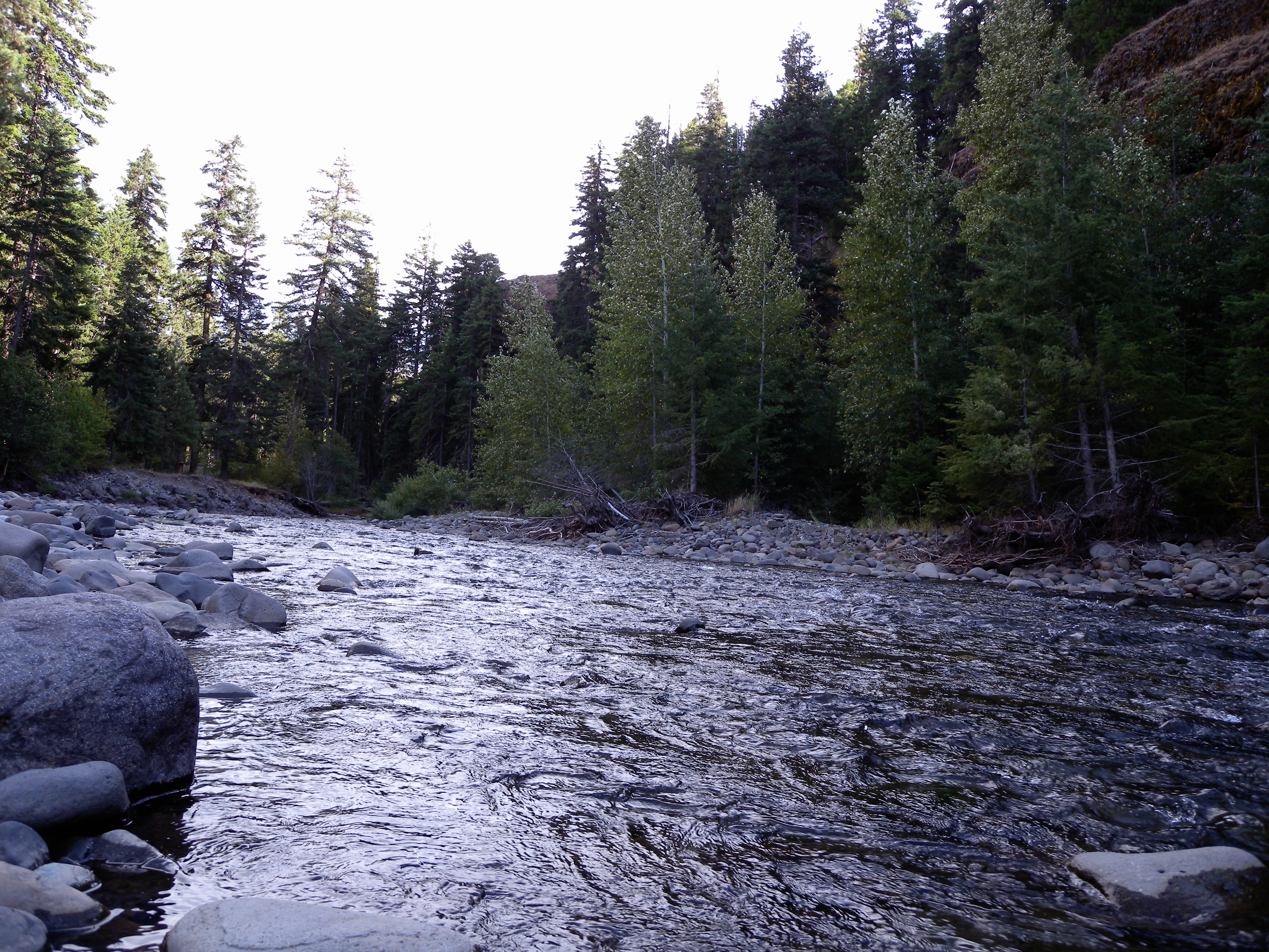
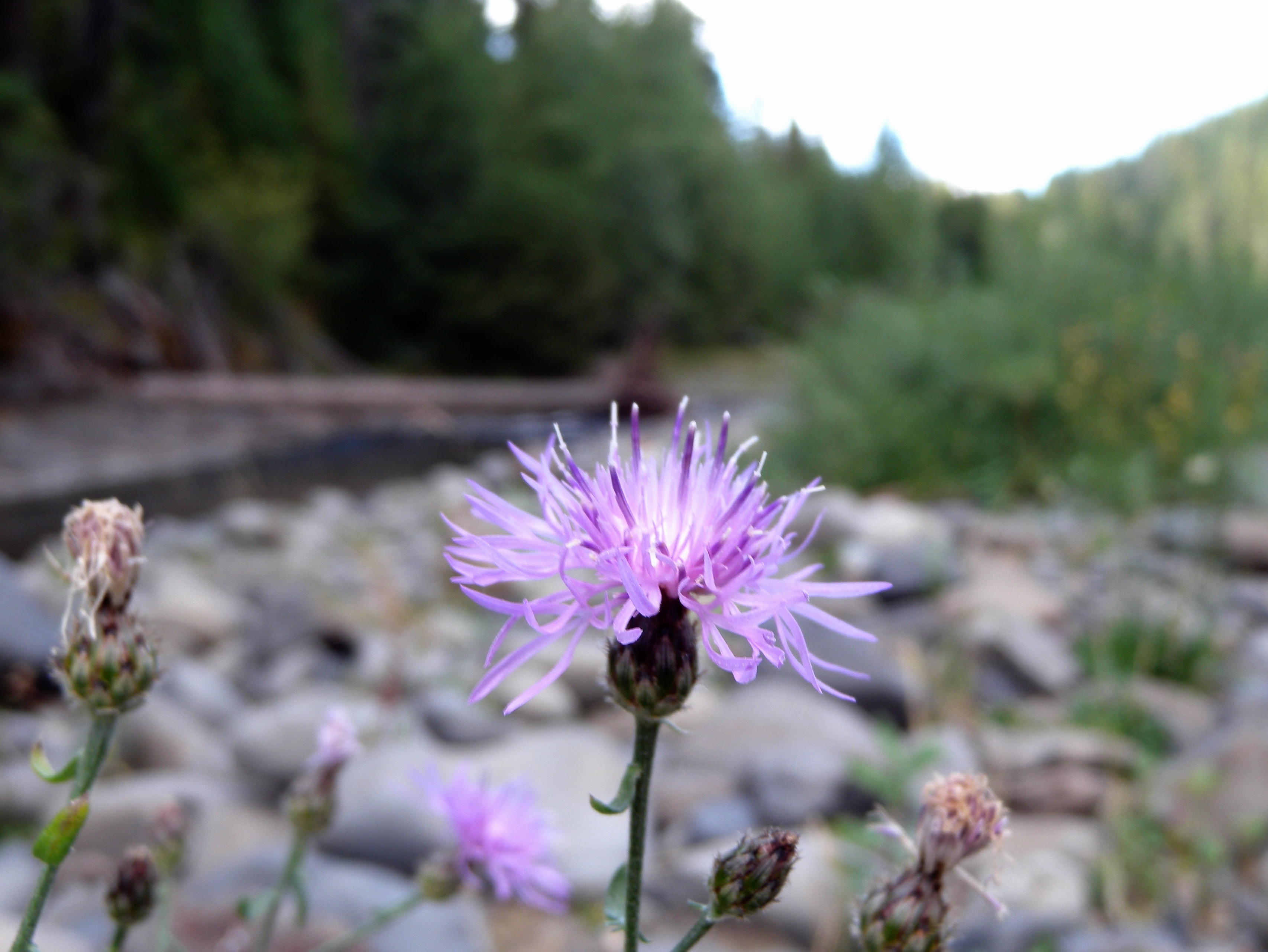
After a serene and slow morning drive (about an hour and a half from Seattle), I set foot on some deep and plentiful snow. There was little purpose after, other than to escape the stressful city and explore the snowy landscapes a little, work on a writing project while my driver friend does some skiing. I did some observations of skiing sport and local activity, thinking of future plans to return and gain more from the area. Someday, I would like to partake in the sport of skiing and also do some snowshoe hiking.

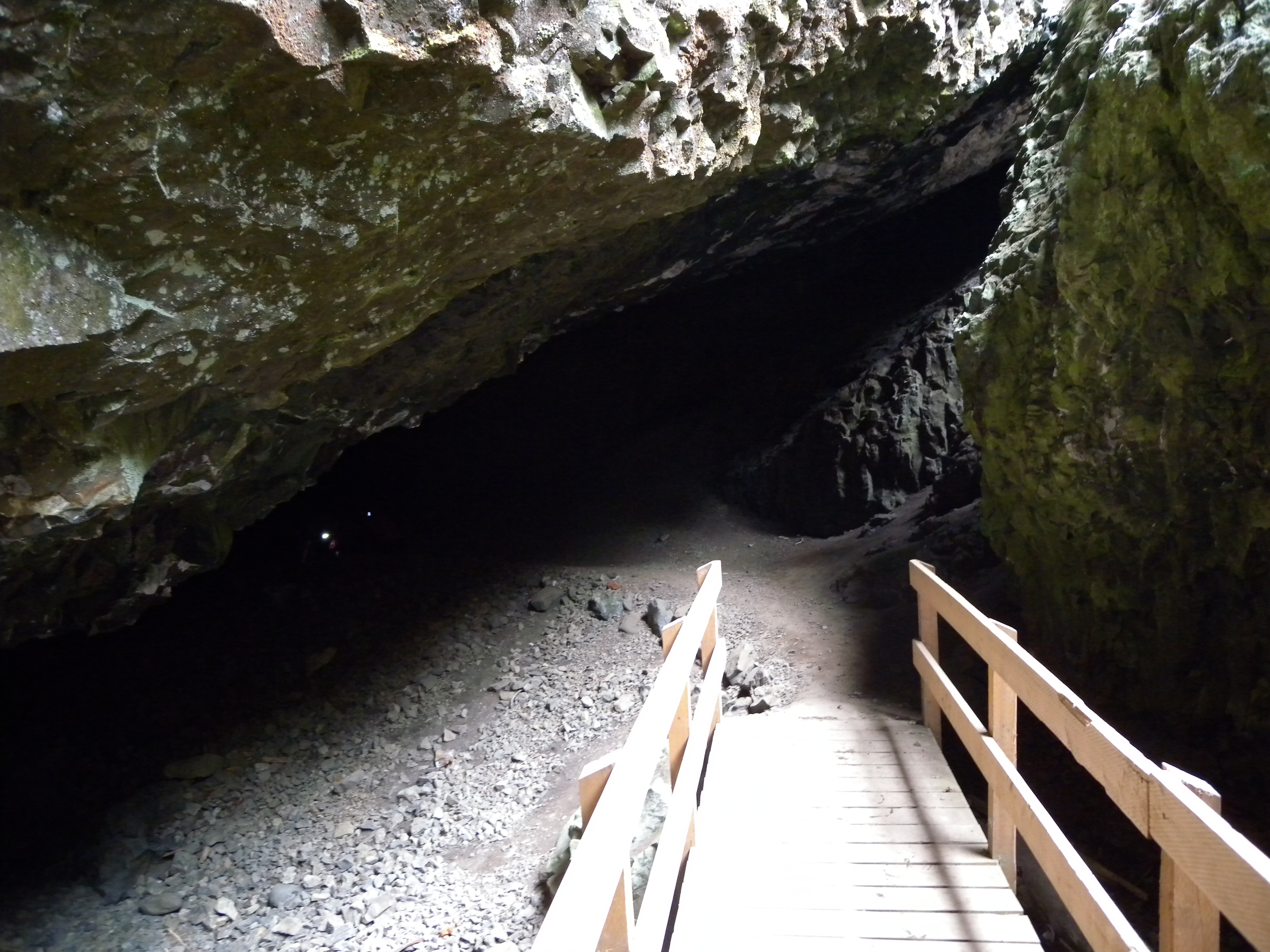
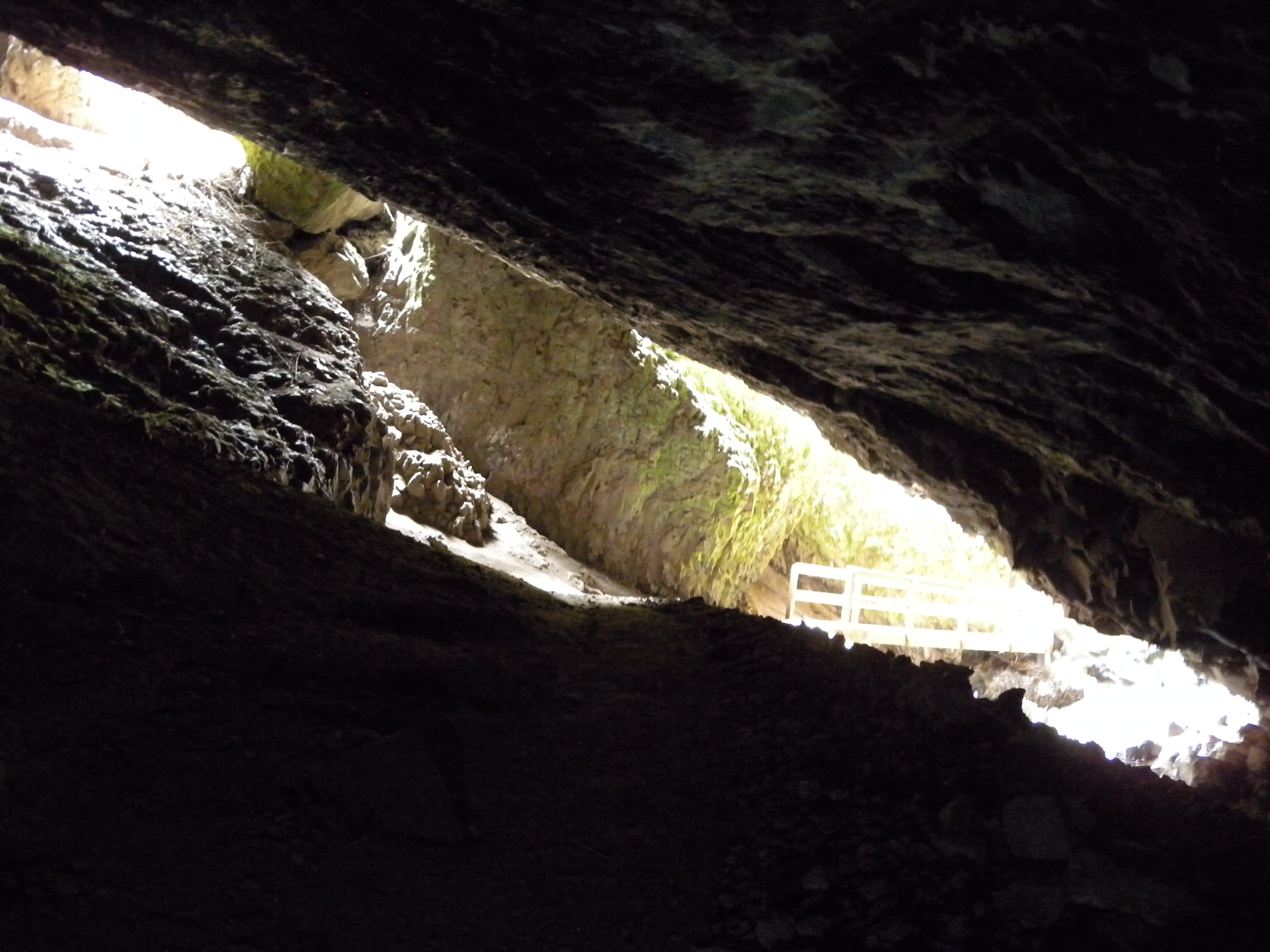
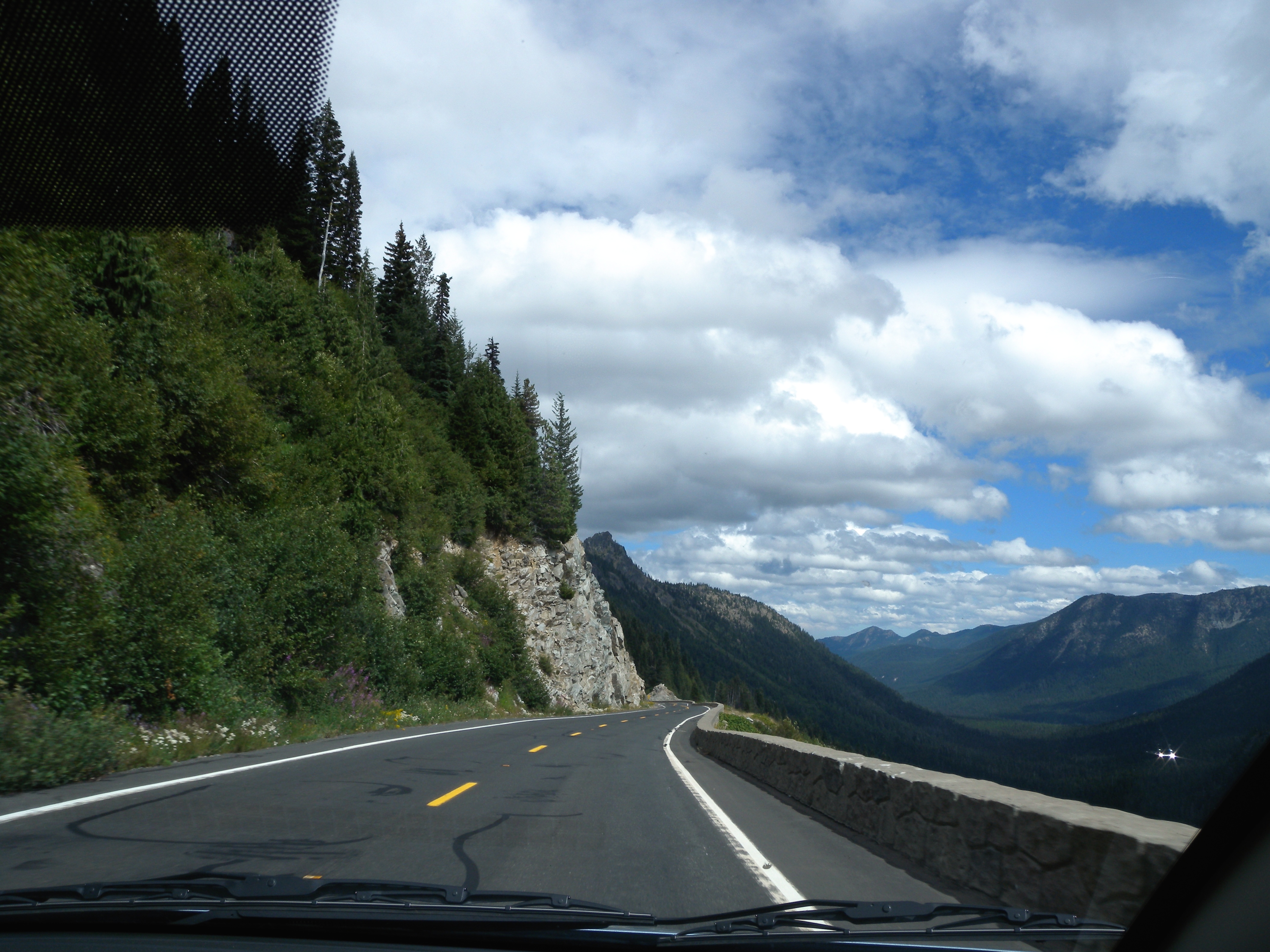
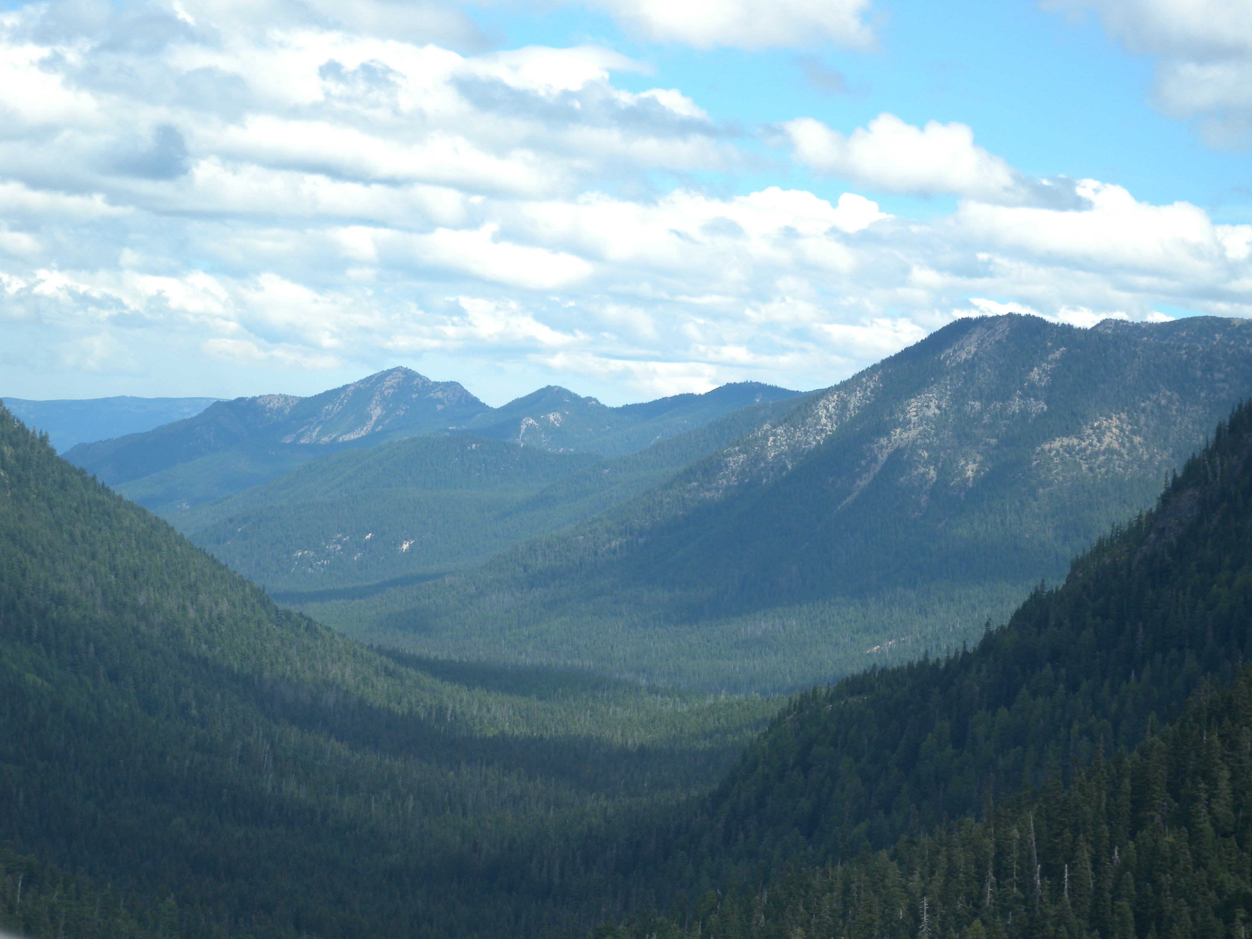
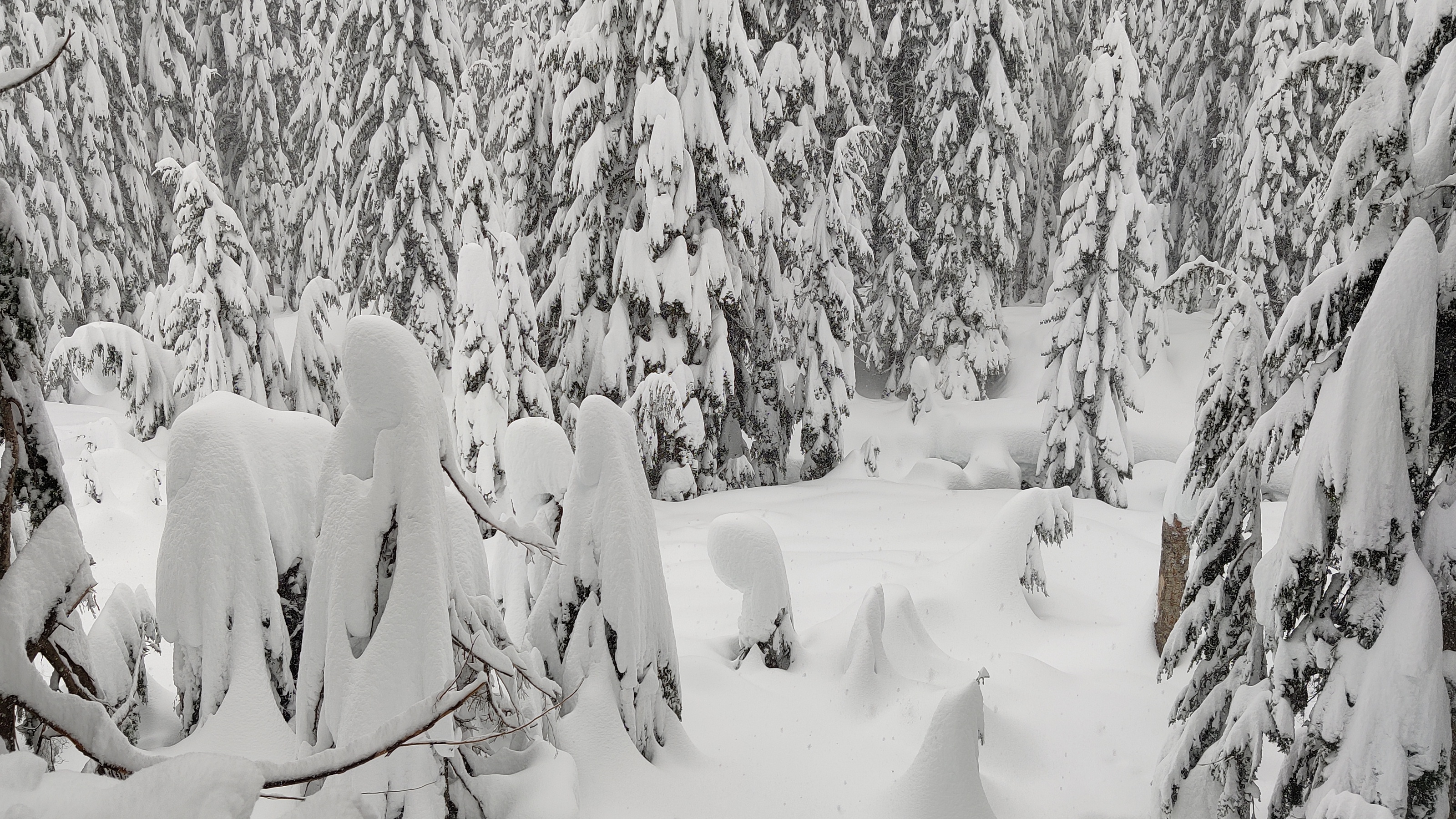
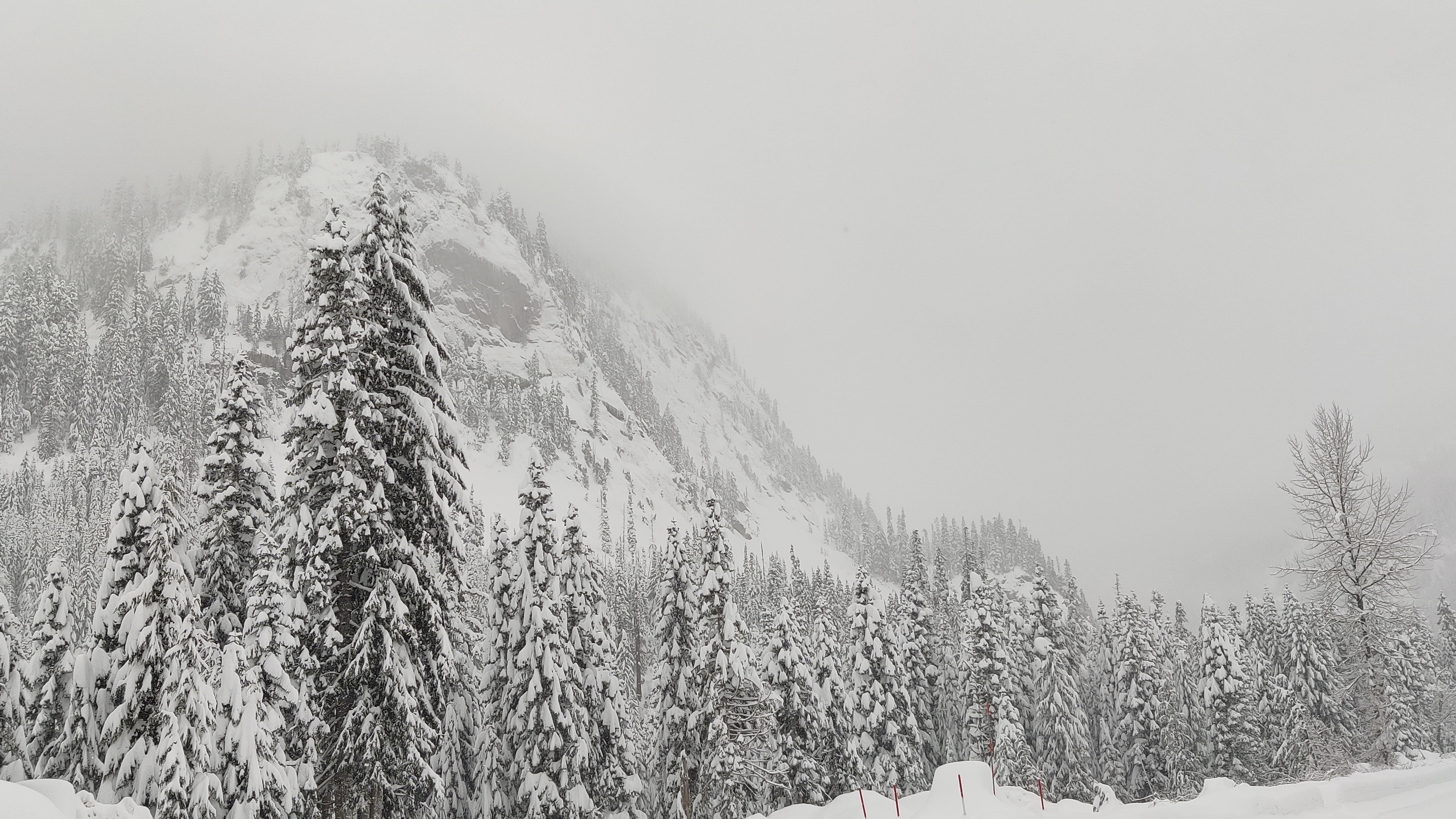
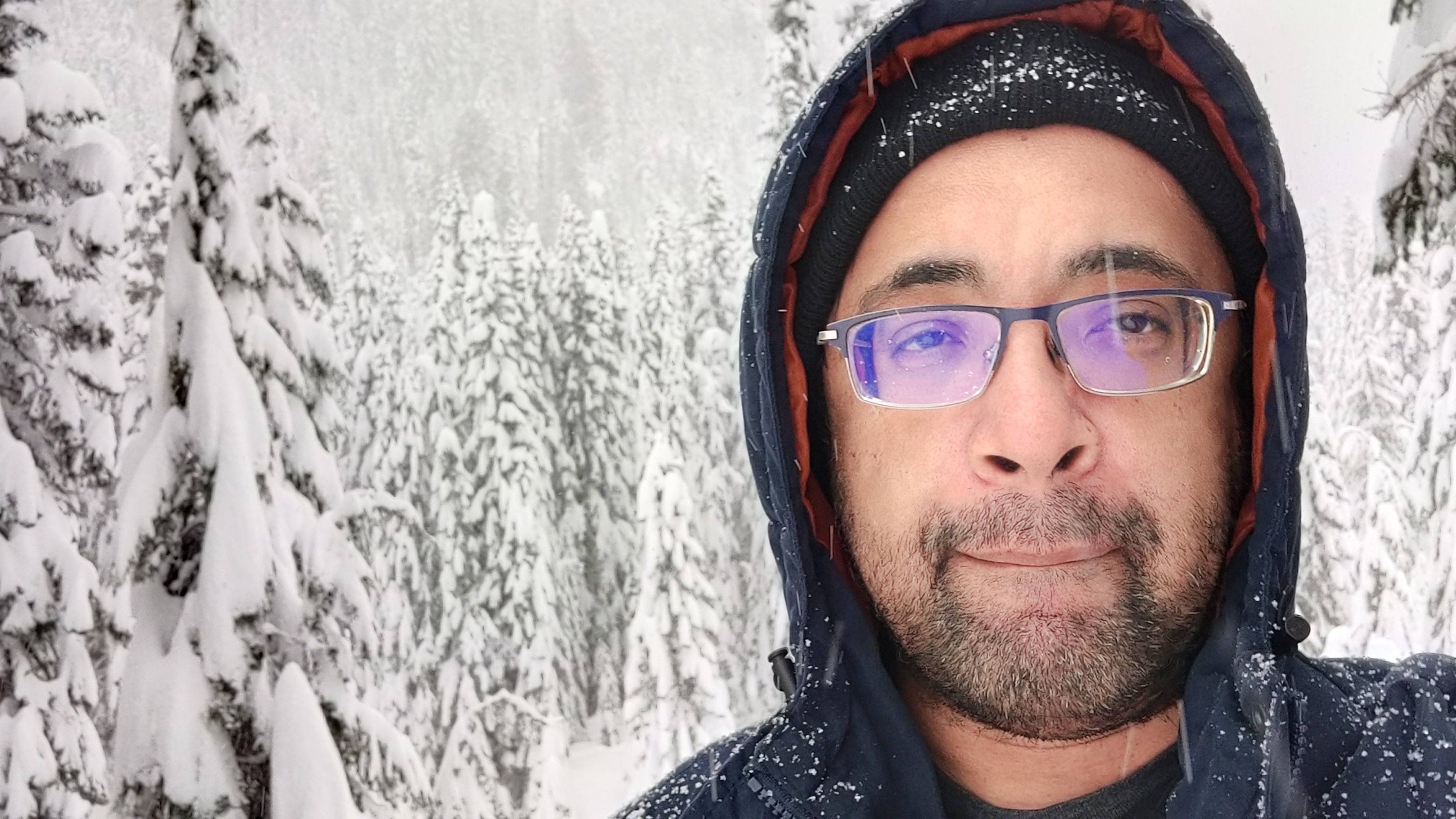
Here are some pics, with notes!

This snow is deep and high there, so watch your step! Roughly 3 inches of snow were added overnight. By Monday, 44 inches fell, according to the Washington State Department of Transportation,

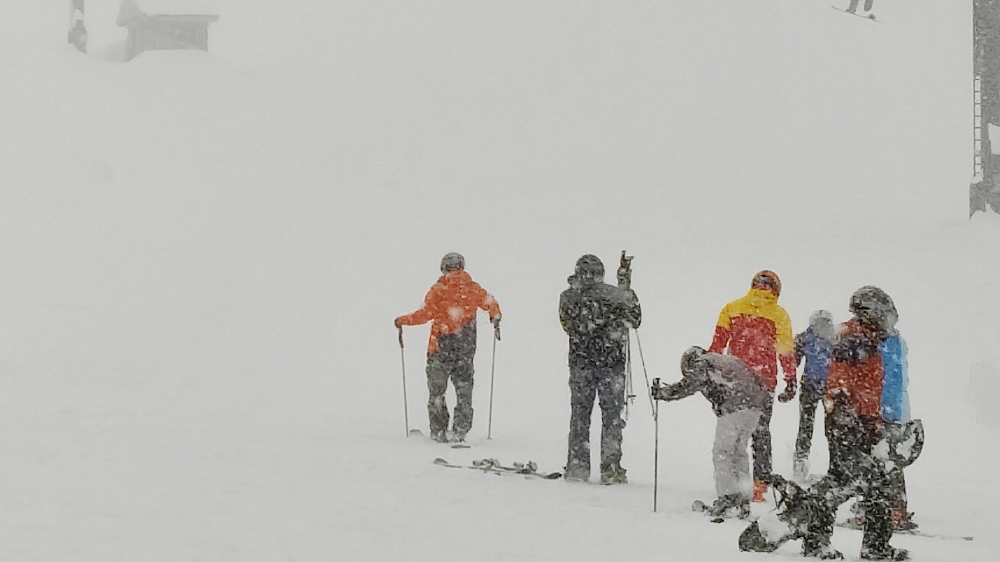
The lifts at the Summit at Snoqualmie, early in the morning during a light snowpour. Activity greatly rose around the noontime, for where I was inside sipping on local beer and working on a project.

The view from outside the window. Many large icicles to accompany the weather high of 30 degrees, low of 21 degrees.
Skiing looks difficult, challenging, yet fun. My friend gave me some pointers to think about, regarding balance and momentum.
I will eventually buy some good snowshoes, find some safe hiking terrains, and have some awesome winter wonderland hikes.
No sun in sight that day. The snow coming down was constant, yet not too enduring.
The roads are maintained very well here, but still must be careful and slow when driving through.
That’s me, Traveling Orion!

Well, that’s all for now. But, I will definitely return to the Snoqualmie Pass, hopefully with ski gear!

– Orion T

The summer view from Rattlesnake Ledge

The view from Rattlesnake Ledge nearly atop Rattlesnake Mountain, is worth the medium level hike from Rattlesnake Lake.

I love the Pacific Northwest mountain areas, with its many hikes offering forest blanket views. The trail to Rattlesnake Ledge is a most popular one among visitors to the Seattle area, with easy access parking and the lovely small town of North Bend nearby.

Rattlesnake Ledge, located in the Snoqualmie Forest, takes about 2-3 hours with good pacing with 6.5 km (4 miles) total. The peak is 2078 feet high (about 1/3 of a mile). Much of the trail is stead uphill workout, a good starter for those less experienced with mountain hikes.

However, it’s not a place I best recommend on the best, sunniest days. It’s a spot that tourists hit often, and the very top can be dangerous when there’s two many people. The rocky area has no rails, no flat platforms, and no room to be reckless and stupid. It’s better to go here on a weekday, maybe more on the morning. People have slipped and fell to their death from this ridge. Take your time, have shoes with good traction, and stay cautious of where you step.

Other details…

See those little dark spots through the water of Rattlesnake Lake? Those are mostly tree stumps, as that lake was a small, short-lived logging town over a century ago, eventually flooded out. When the water level is much lower, the stumps are visible and otherworldly to witness. I wrote and took pictures from a previous visit, here.

That’s the view from the other side of the lake. Over there is Mount Si, a place I have hiked many times, but never made it to the top. Someday for sure!

Beautiful up close texture of the the ledge’s rock side. Surely, a geologist can share stories of this spot, just from studying details here.

A little plant, growing out from the side. Alone and enjoying the view for the rest of its life.

A very deep crevice within the ledge. You can climb through it to get to a small, personal view from the ledge. But, be extra careful getting through and don’t bring attention to yourself to others above enjoying the view. The little crack can only handle 2-3 people at a time and can be very dangerous and problematic for others trying to get back.
Just me, taking a selfie. I was with visiting friends from Los Angeles, taking the time out to enjoy the best of the Pacific Northwest!

That’s all for now. I have more pictures from more recent adventures, with some surprises. I also have some video, but need more time to sort through clips and edit. Keep adventuring in the meantime, and enjoy what nature offers you!

– Orion T

Observing the revealing dead life at Rattlesnake Lake

img_2189

It’s been six years since I last visited Rattlesnake Lake, a wonderful little body of water by North Bend, Washington. There were, and still no actual rattlesnakes there. The origin of its name is said to be from the sound of the seed pods of the local camas flower, drying out in the wind.

There is something much more interesting than its name. Here, was a small town over 100 years ago here, named Moncton in 1907 (formally Cedar Falls). The town did not last long, as it was built near a reservoir, taking in water through a very faulty dam. The floodwaters took over the town, as the settlers evacuated. Until 1915, the town was officially no more. Rattlesnake Lake took over.

You can find more on that story, here.

Much later, and more recently of last weekend, I visited Rattlesnake Lake. I was hoping for some peace and quiet on perhaps maybe the last sunny day of the year. To my surprise, I found the lake to have lost much of its water. A local told me it’s been ongoing, from the current changing climate, bringing in dryer days.

The view of the lake revealed a dramatic change, as a result.

Now shown, are many tree stumps and tree remnants from its days of heavy logging for the nearby former town.  It’s an awesome, fresh site to see so many scattered about. Stop and study the area, you’ll find some odd formations. One can easily imagine this alien landscape, perhaps inspire new tales of fantasy and maybe new spooky tales.

I trampled through some fresh mud to get a closer look, explore for different angles to its fantastic revelations. I took pictures, some presented below…

731a931c-b37c-4e08-b41d-e91ff52241ec0bce48eb-d54d-4d26-945e-1d31b5a6bf43img_2188img_2198

img_2213img_2232d51d843b-bacd-49a1-81b3-48ad7e290deb

I highly recommend a visit to those around the Seattle area. There is a nice hourly scenic hike, a pleasant nearby park, and other interesting things to check out. It’s close to North Bend, where the cult TV show Twin Peaks was filmed. Also nearby, are many more points of interest around here. I may share in the near future on some favorites, as I will definitely return to North Bend in the future.

For more on Rattlesnake Lake, including visiting info, click here.

– Orion T

Along the way, deep into the forest trail

img_5892

I recently posted about my hike to Annette Lake, a serene lake high in the mountainous region of the Mt.Baker-Snoqualmie forest.

The lake being serene and amazing, was enough to behold for its own posting. Now, I would like to share a bit more on its trail to and back. It’s a path as awesome as its destination.

The 7.5-mile round trip Annette Lake trail has wonderous sights, rich in the best of the Pacific Northwest nature land preservations, and another reason I love the Washington State. Here, dedicated hikers will step across towering huddled trees, fallen trees with new life taking upon, rocks of all ages, countless waterfalls, old wooden bridges, and patches of snow along the top in this late spring.

The sunlight through the blue sky intensified the green, illuminated darker pathways partially covered full-grown branches, and gave sparkles to the streams of water running down. You can also enjoy the sounds of the trail varied from noisy waterfalls, chirping birds up high, and peaceful void of preserved stillness.

Here are some choice pics along the path…


Overall, the Lake Annette Trail is a good hike I highly recommend for those physically able to withstand a moderate uphill exercise binge, with a worthwhile destination of the lake itself to rest for a bit.

My tips for the trail: go early, so you’ll have time to rest and enjoy some views. Bring a water bottle or two, with snacks of nuts and dried fruit. Go in a group, and maybe bring your dog (allowed on the trail). Wear good hiking shoes fit for stepping over small rocky pathways and snow patches. Don’t rush, as parts of the path are narrow, and other hikers will be frequently passing on the good days. Much of the path is upon step hillsides, with an easy fall into deadly grounds. Rest easy at the lake for a good time before heading back.

For more on the Lake Annette Trail, visit the official Washington Trails site at www.wta.org/go-hiking/hikes/annette-lake.

– Orion T

Colorful Gardens at the Skagit Valley Tulip Festival

img_5430

I recently visited the Skagit Valley Tulip Festival in Northern Washington State on a gray day this April. Some of that was detailed in my previous post, Colorful Views…). As amazing as the tulip fields were, I was also impressed by the Roozengaarde display garden area. Here, there are “90+ varieties of tulips and over 150 flower bulb varieties in total. Included are tulips, daffodils, hyacinths, crocus, muscari and other specialty flowers.”

The colors this time of year stand out, and a worthwhile attraction for tourists and locals in the Pacific Northwest. According to its website at tulips.com, the display garden is open all year round. Seeing these with the fields during the festival, is just an added bonus.

I now share some pics of the wonderful display garden below (click on each for the bigger picture):

The admiration and picture-taking was a joy, but personally seeing this for yourself is the best experience, especially with friends or family. For more info, click here and check out the Roozengaarde official site at Tulips.com for more info about tulips and purchase options

– Orion T


Weekend Adventuring in Olympia, Washington

image

Check out the Olympia town in Washington State, when exploring the Pacific Northwest.

Olympia a wonderful stop, halfway between the Portland and Seattle cities, close to the 5 and one 101 freeway intersection. This area is also the best stop for food and a stretch when traveling the between the major cities in no particular hurry. You’ll find much to love for any length of time you spend here.

A few things special about Olympia. You will find much art around many corners, more notably upon the walls of allies and businesses. This brings much color and uniqueness to the area. There are also some fantastic sources for literature, with some bookstores I checked out (Browsers Book Store and Danger Room Comics Store). The variety of food is excellent, with the best of it from local businesses. Also, lots of vintage antiques are also visible and up for buying. In between and throughout, you may also notice multiple signs of social activism and awareness with Black Lives Matters signs, climate change awareness, and other messages of modern progressivism. Olympia shows character aplenty in its overall presentation.

For me, it was all about stepping out from the weekday work stress. With a friend as company, I went to explore, and seek interesting visuals, eats, and a little shopping. Olympia did not disappoint, as this was my second visit to the city. Last visit, I barely walked around. This time,we had no particular direction here, other than its main downtown center.

Here are some findings in pictures, with some more notes on the area..

One of Olympia’s prominent buildings, the Old Capitol Building. It’s now the office home of the Superintendent of Public Instruction since 1906. Before in Sylvester Park, stands John Rankin Rogers..twice governor of Washington State, who believed in giving a fair education to “every poor son of the commonwealth.”

image

Some up close sculpting on that building. Love the detail here..

Photo Sep 26, 3 53 03 PM

The charming outside of Darby’s Cafe and neighboring local businesses on a 5th avenue block. I love the random little deco touches upon this old building…

image

The Capitol Theater across the street from Darby’s. I love the look of this old movie theater, and will look into seeing its inside in a future visit.

image

The inside of Darby’s Cafe, to a wall of wild art…

image

Above and around inside Darby’s Cafe, a tribute to the Wizard of Oz. The food was quite good too. I had a Brocco Burger (Broccoli, white cheddar, other good stuff) with fries (a bit too much they give) and a root beer float (root beer can be replaced with an alcoholic alternative). All quite good, and filling enough until my trip back to the Emerald City.

image

Some art on the side of The Great Cuisine of India restaurant.  Many of the following pics are select examples of the overall mural art scene of the Olympia area.

Photo Sep 26, 2 34 28 PM

The Olympia Rafah Solidarity Mural. from About this from olympiarafahmural.org. “Four thousand sq. ft., interdisciplinary mural with over 200 participants from all over the world. Project celebrates and mourns Rachel Corrie through action. Rachel was born in Olympia and killed in Gaza when run over by an Israeli driven bulldozer in 2003. ORSMP mourns and celebrates the lives of all who struggle for justice.”

image

Up close on a select section of the Rafah Mural..

Photo Sep 26, 2 08 08 PM

A mural inside the alley of next to the building of the Old School Pizzeria. A wonderful and very colorful tribute to the imagination..

image

The best thing for us comic nerds out there, this old school tribute to the classic Marvel Comics. Located to the side of the Old School Pizzeria. I love this.

image

The inside of the Old School Pizzeria is pretty awesome too. Lots of vintage nostalgia all around, and the pizza was pretty awesome too.

image

Capitol Lake, with what I think is the Washington State House of Representatives capitol building.

image

The lake itself is very serene, and calming for anyone who enjoys a nice walk in the park.

image

That’s all for now on this amazing area of the Pacific Northwest. I will be back, with a look at other interesting signs and aspects of this interesting area.

Orion T

Recent Adventures on Whidbey Island, Coupeville Wharf

Coupeville.jpg

Coupeville is a nice small town, to the north on Whidbey Island (Washington State). It’s got a small wharf, where local people smile a lot and appreciate their pleasant surroundings.

I was here for about half an hour, on a break in a long quest to find a blue heron rookery for a friend (long story). I wandered for a short bit, taking in the serene surroundings.

Here are some pics of that time…

IMG_0432

I hope to come back someday, and stay longer.

– Orion T  

Pictures of Today 1/30/15, Nightly Comes the Fog..

IMG_3172

The fog is impatient today, rushing in. Seattle’s Blue Friday night before the coming Super Bowl, will be hidden.

I saw it coming a little earlier..

IMG_3170

And then, nothing could stop it..

IMG_3171

The moon shines high above the fog, for now..

IMG_3169

And there was the Needle..

IMG_3174

10 minutes later..

IMG_3172-0

10 minutes later..

IMG_3175

Now is the time for new secrets..

Pictures of Today 1/13/15, Winter Fruits of Pike Place Market.

Photo Jan 08, 12 42 53 PM

The Pike Place Market is the most famed and cherished farmers market of Seattle. Also, the second most popular tourist destination.

The reason for such, is of many. The fantastic fish, the local businesses kept strong, the variety of entertainment, a place of unique and interesting gifts, the wall of gum, and the interesting history attached. But for today and of many random visits my favorite reason for Pike Market, is the assembly of special fruits and vegetables; much of which you could never find at those brand name grocers. Of some, I gladly pay the little extra money to get a lot more flavor and discover new boldness.

Here are some below from various vendors of the Pike, from my latest visit. There more to explain in every picture, but I must withhold for now (also, quite exhausted from errands and other work lately). I will save the info for a very special project I am working on, of which this is first hint of mention. For now, admire the colors and info within; and let your imaginary senses to those tastebuds run free!

Photo Jan 08, 12 55 11 PM

Photo Jan 08, 12 54 07 PM

Photo Jan 08, 12 55 03 PM

Photo Jan 08, 12 37 29 PM

Feathered Friends..

Birds, by Orion Tippens

A picture for today, from the south Puget Sound in Washington State. It’s not quite the morning, more of the noon as the low marine layer fog remains present for much of the day.

The birds, I have no idea on specifics. Their domain is a small platform surrounded by the water, marked many times by the feathered flyers around.

This shot, from the local ferry boat transit from the Fauntleroy, West Seattle Terminal to the Southworth Terminal, with Vashon Island as a stop in-between. I on some extra work for the ferry involving the collection of travel surveys, going back and forth for much of the day. I can’t recall which terminal was near, or what land is underneath that fog. I was very busy with the work, and enjoying the foggy exterior for that it was, not as much where.

And, I love photographing birds.

More Northwest Adventuring

CN19

Continued from our recent adventure in the Okanogan-Wenatchee National Forest, state of Washington in the Northwest US

The Boulder Cave, about five miles down the nearby road our campground at Little Naches (25 miles from Mt. Rainier).

Our camp group headed there by car, with a small uphill hike (2 miles round trip). Incredible place, with the deep ravine between forest covered rocky hills more amazing than the cave itself.

b1

Also, the occasional special tree to stare at.

b2

Further in, the more I loved of this deeper forest withing itself.

b3

More further down, a small cave to the side of one cliff..not the Boulder Cave promised at the end of the trail, but worth checking out a bit later.

b4

Love the colors here.

b8

b11

Under that smaller cave, but not so small now.

b9

Moving on, and further down the ravine.

b12

And finally, the Boulder Cave. Open on both ends, and a small, steady water stream from Devil’s Creek from the other side. At times, bats are said to hang inside.

b13

b14

“The frame of the cave leads to the frame of man.”

– Stephen Gardiner, Lord Chancellor to Queen Elizabeth I

For more on Boulder Cave and its surroundings, click here.

Northwest Adventuring

CN1

Love a spontaneous adventure, especially around the Northern Cascades of Washington state, US Northwest area.

I enjoyed two half days to and through the Okanogan National Forest, camping with friends at the Little Naches campground. All, very close with the camp about 25 miles to the Mount Rainier. Just the cheer with a little hiking and night drinking was enough. The simple pleasures of camping and hiking were renewed, as such was long overdue with the extraneous stresses of city life.

There are pictures, with some note below:

Stepping outside the 410 freeway. Here, a vista view of some mountains and glaciers, I am unsure of on name. The funny thing here, are several views adjacent to each other on the road, divided by some nearby trees. The three views are different yet so close to each other of the same area. This one is best.

CN3

This is from the scenic route on the 410 freeway, heading east and further up.

CN0.1

When reaching your destination, look up and let it sink in. On a fast cloudy day like this, look up often. No two views over time were the same. The clouds move fast in the Northwest.

CN12

Get to know your surroundings. Also, have good sturdy shoes.

CN5

The Naches River is peaceful. The ambiance of running water, free of honking cars, is a better thing.

CN6

The light dryness of the rocks resting above the busy water.

CN16

Enjoy nature to the smallest parts. I always do.

CN15

Have a seat.

CN14

Love this moment.

CN10.5

O look, a squirrel!

CN24

“A squirrels teeth grow continuously. Their incisor’s will grow six inches per year, but stay short due to the constant wear they receive. “

– fact from squirrels.org

(More from this trip is coming soon, in another post)

Alexander’s Castle

Today, I share one my favorite pictures, taken by me. Bear in mind, I am no professional at photography, but I love doing it.

Alexander’s Castle, during a rising full moon on a winter’s night, some years ago:

photo by Orion Tippens

The location is in the northwest United States, within the State of Washington, far north of Seattle, on the northwest side of Puget Sound on a peninsula, very near to the small town of Port Townsend. The surrounding area is Fort Worden, a state park and former US military station.

The castle itself is the oldest building there. Here is more info from the  Washington State Park Web site.

“According to the legend, Reverend John Alexander built the castle for a prospective Scottish bride in a style reminiscent of his native country. In 1883, he acquired 10 acres of land near Point Wilson and constructed the building known as Alexander’s Castle. Alexander intended the building to serve as a home for him and his bride. Traveling to Scotland to get his bride, Alexander found that his bride-to-be had married another. He returned to Port Townsend alone and used the building as a temporary residence. During the park’s Army days, the castle was used for a number of purposes including serving as the first site of the Post Exchange and for many years housed the tailor shop.”

For me, it was just a night walk during my three-week stay at a nearby hostel (now closed). I was experimenting with my newly acquired Canon Rebel T1i DSLR,  taking advantage of the surrounding lights for exposure. I was hoping to get a better shot of the moon in the background, but knew too little. I tried, a lot. I don’t recall the ISO settings, exposure time, etc., but I did some very heavy experimenting. I must have taken at 30-50 pictures (with no tripod), trying different camera settings. With this picture that turned out best, I used a little Photoshop to remove the noise. Later, I appreciated my overall effort and this particular moody result.

Fort Worden and its surroundings are amazing, with much to offer for travelers and adventurists. I will detail more on this area in a future write-up.